Musicbed
Filmsupply
Stills
Contact Us(800) 805-6802
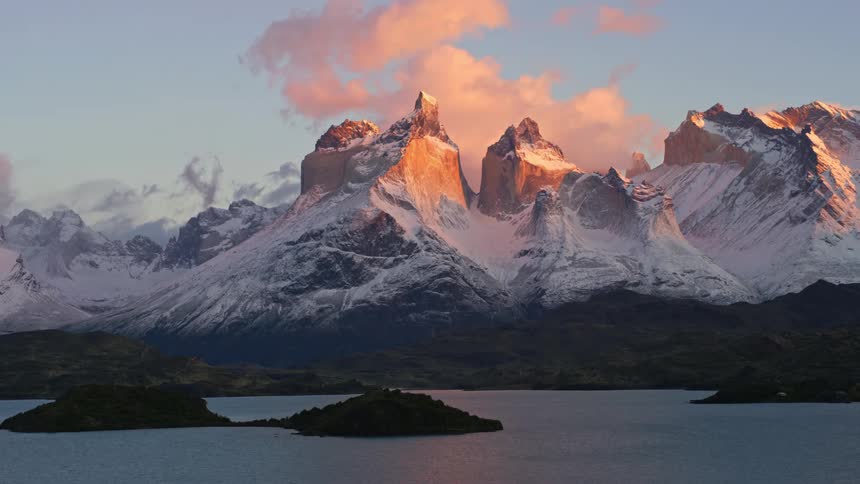
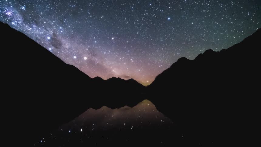
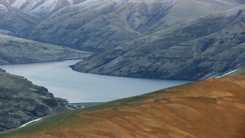
A region like mountains covered in snow and in front there is a huge lake
Swimming
A dam is moving water along a canal on a cloudy day
Pacific Northwest Aerials
A bridge leads to a pier along the coast
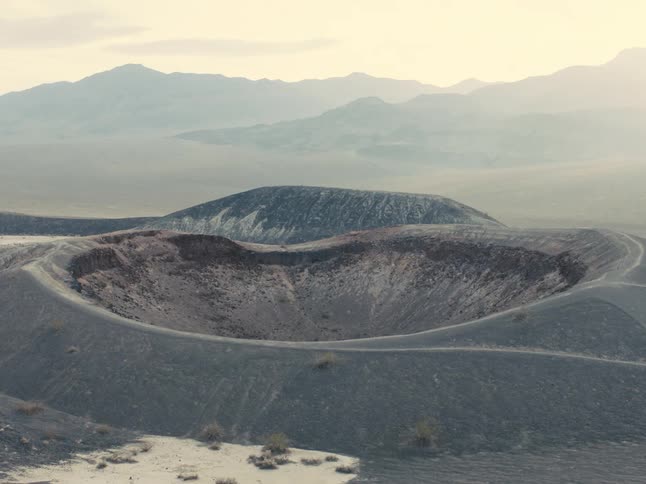
Crater stands near fog covered mountains under a red tinted sky
There is a television screen inside a room
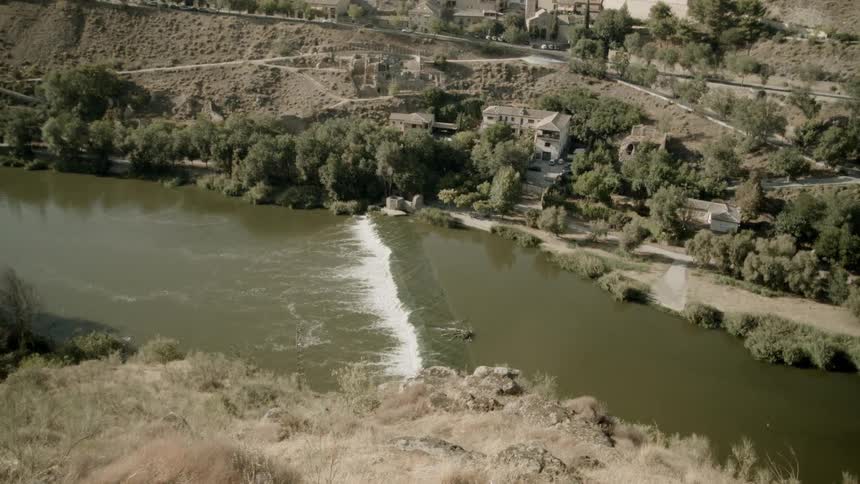
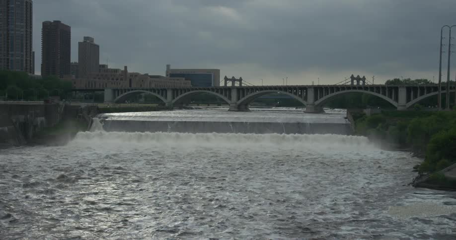
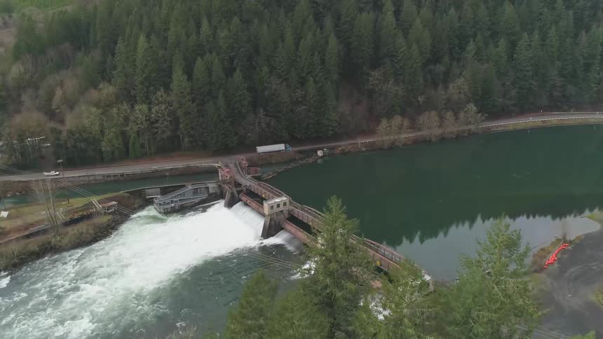
Dam effectively controlling flow from a lake to a river
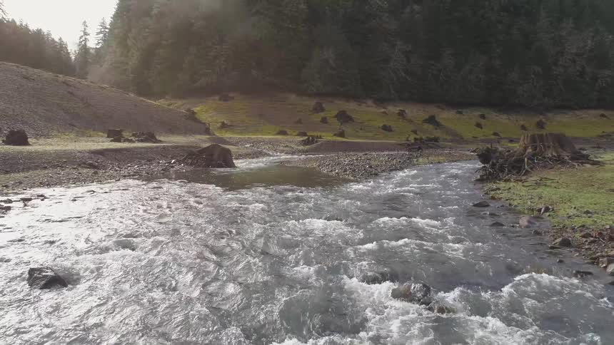
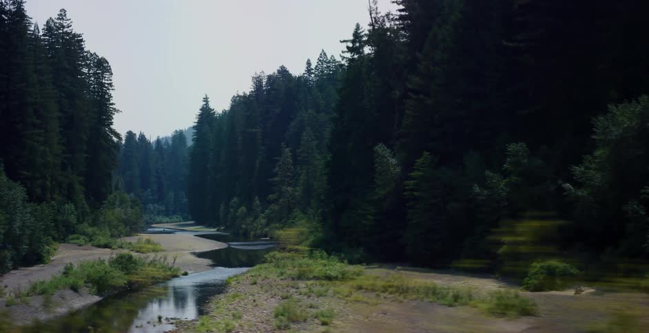
Tracking shot revealing a tranquil river flowing through a lush, dense evergreen forest
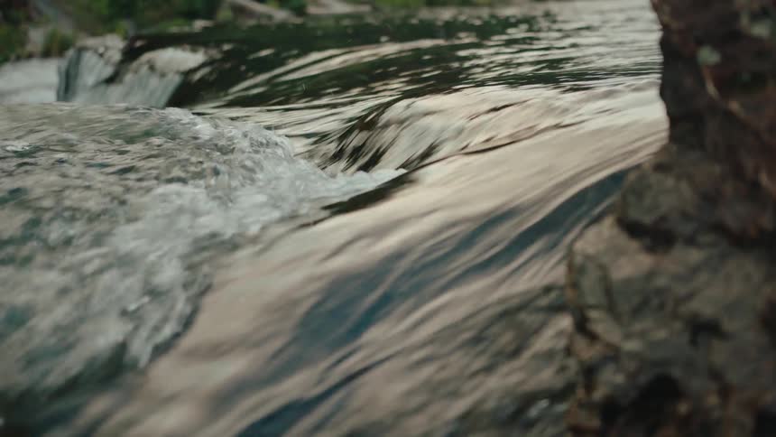
Running water of a river
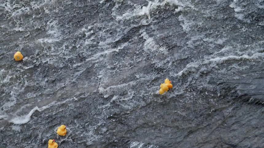
Rubber duckies are tossed about as they flow along with a rushing stream of water
Buildings on either side of a river
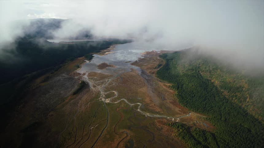
Clouds part to reveal river estuaries flowing from a lake in the mountainous wilderness
Pacific Northwest Aerials
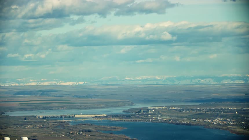
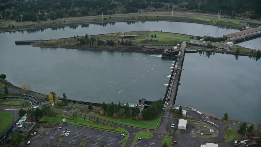
McNary Locke and Dam spans the Columbia River with I-82 in the foreground showing the vast plain of the Lower Columbia River valley
Dusk turns to night as dark clouds move over a lake in a mountain valley
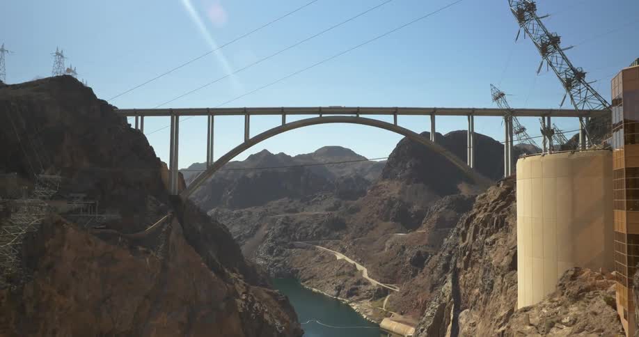
View of a bridge above a small lake
Vintage film captures a hazy, blue-toned aerial view of a vast archipelago or fjord system
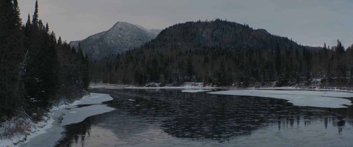
Frozen lake in a snow covered forest
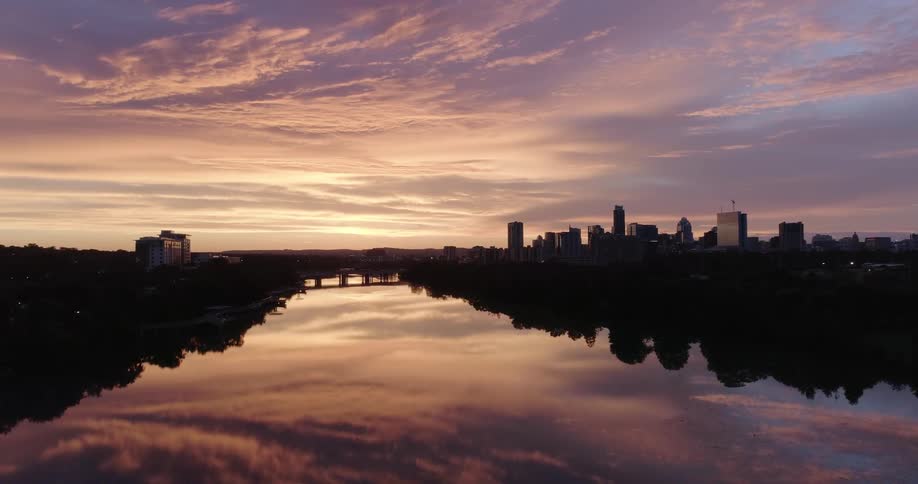
City skyline across the rippling water is silhouetted against the red sky on the horizon
Aerial of the river with dark water on the plain with undergrowth during the day
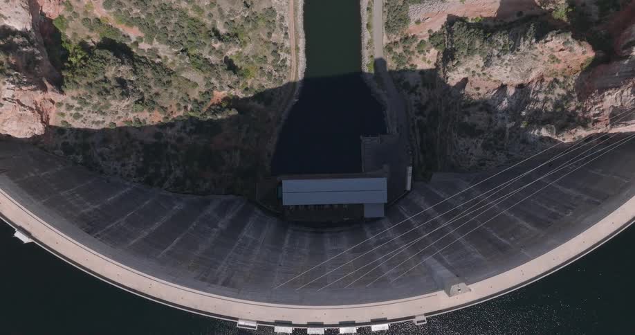
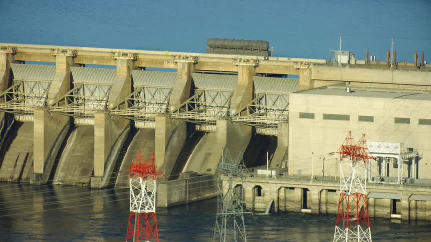
Aerial view of dam gates on a river
Cars are driving on a bridge above the water
Dam creates lake among hilly terrain
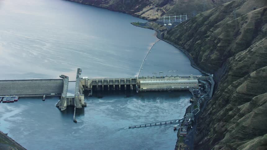
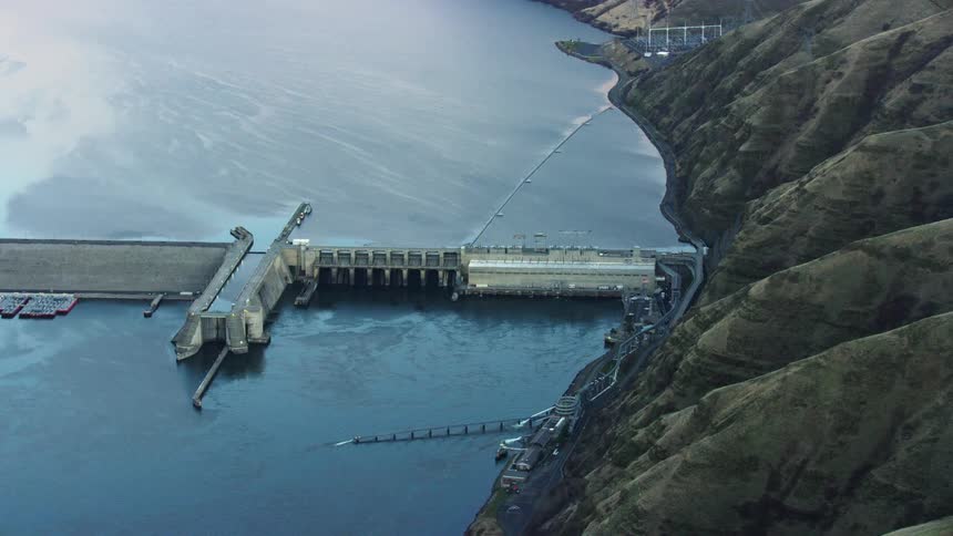
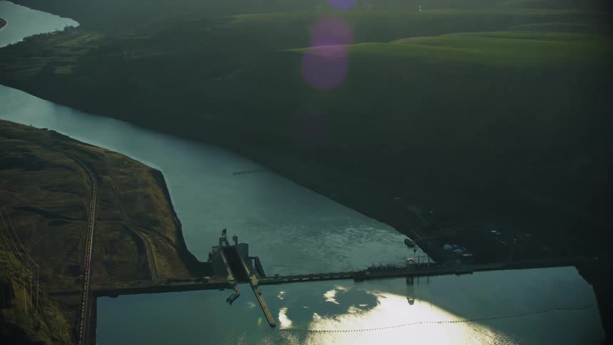
Lower Monumental Dam on the Lower Snake River as seen from high above in this sweeping aerial of the Army Corp of Engineers project
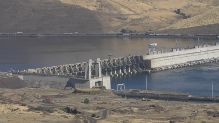
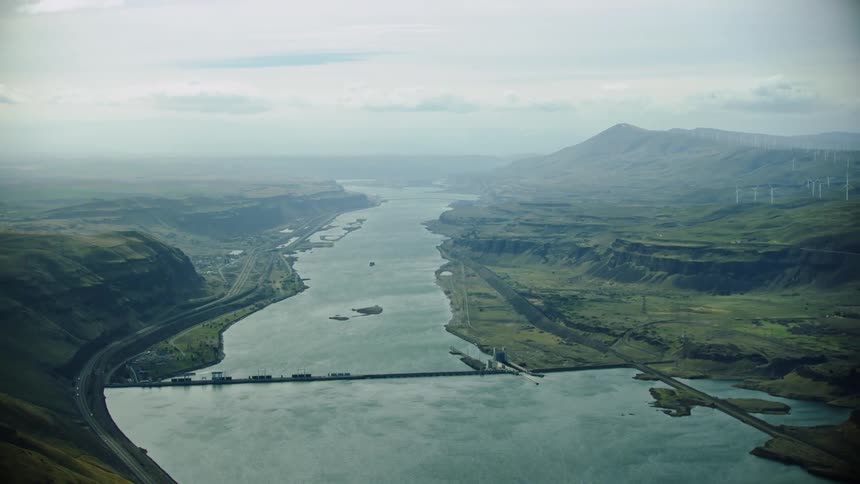
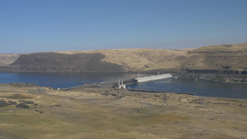
Center framed super wide high altitude aerial of the Lower Columbia River and the John Day Dam with Hydro Electric and Wind Power in the same frame
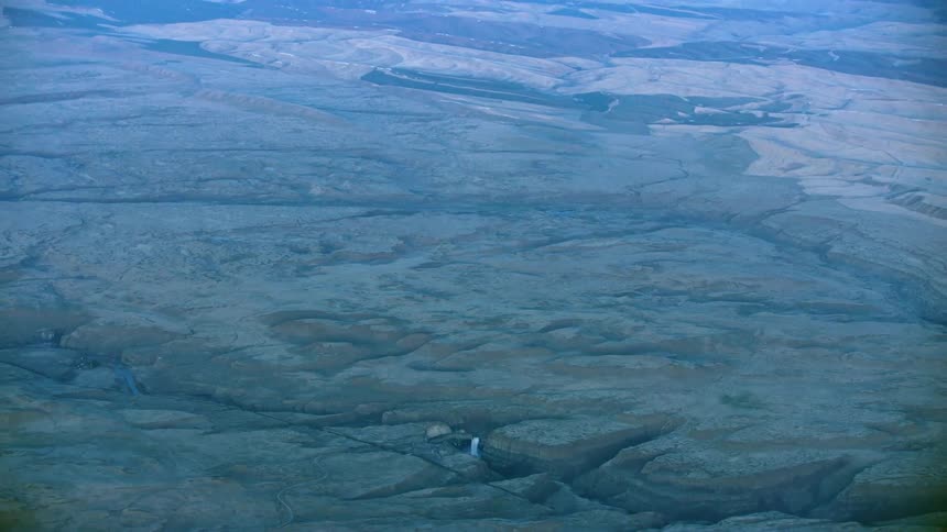
Slow zoom out reveal of Palouse Falls and the vast Palouse wheat growing region of Eastern Washington in late evening light from high above Earth
Tight shot of Ice Harbor Dam on the Lower Snake River just before the Snake River confluences the Columbia River on the way to the Pacific Ocean
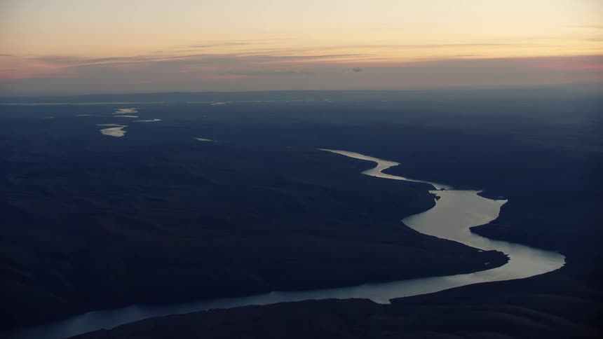
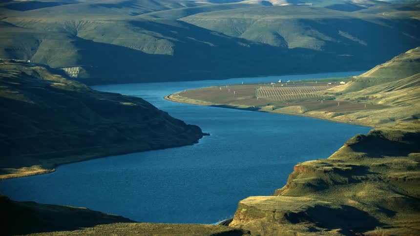
The lower snake river weaves through the high Palouse country of eastern Washington on the way to confluence the Columbia River near the Tri-Cities
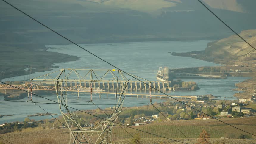
Large Electrical Transmission lines pass through the foreground with The Dalles Hydroelectric dam in the background communicating the energy consumption needs of the world
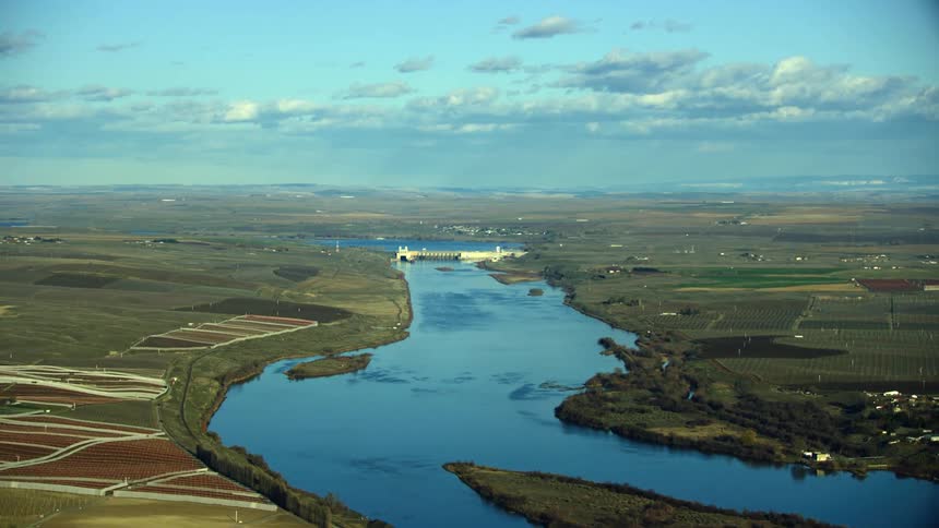
Aerial view of Ice Harbor Dam on the Lower Snake river in Eastern Washington, the last of four dams on the Lower Snake River before the confluence with the Columbia River
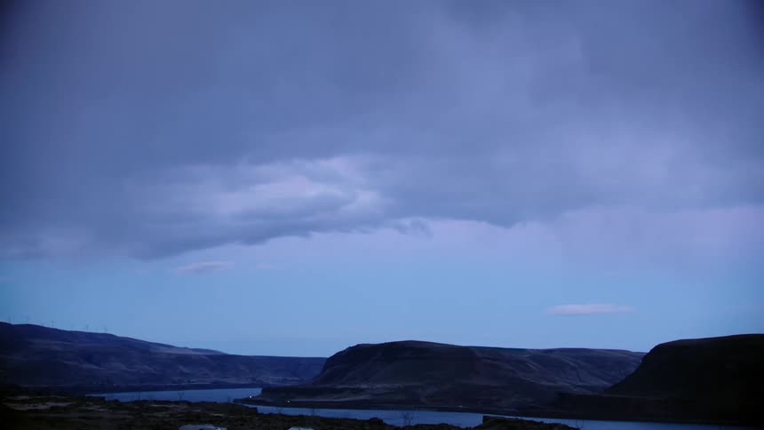
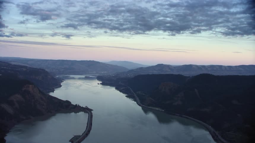
Blue hour shot looking out over the Columbia River Gorge as the camera shows a dynamic cloudscape
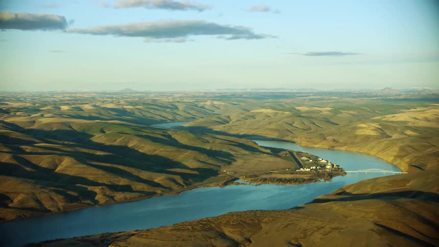
Central Ferry Bridge also known as Elmer C. Huntley Bridge spanning the Lower Snake River in Eastern Washington State at sunset in this sweeping aerial
A few rocks protrude above the surface of a shallow creek
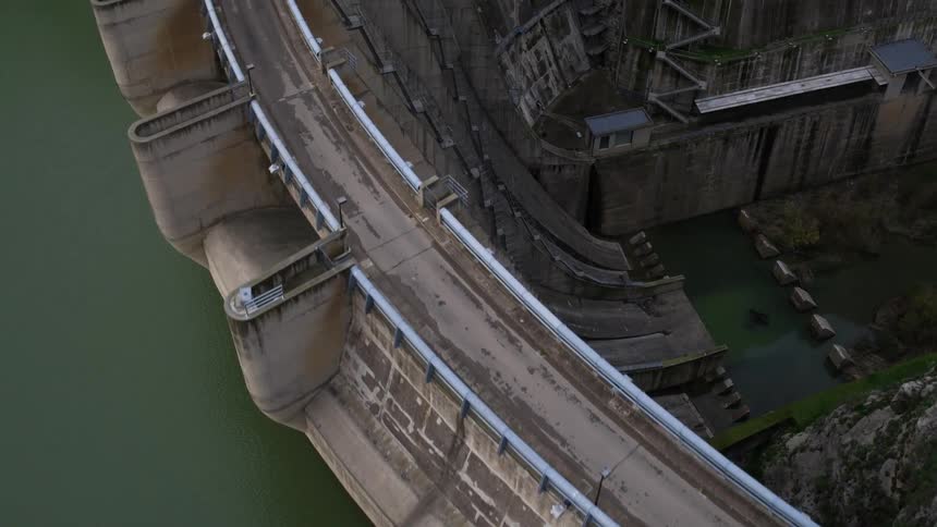
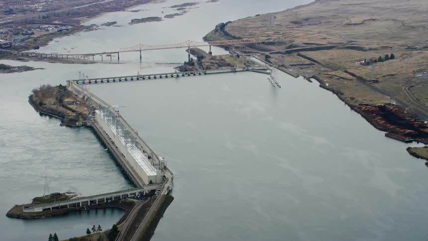
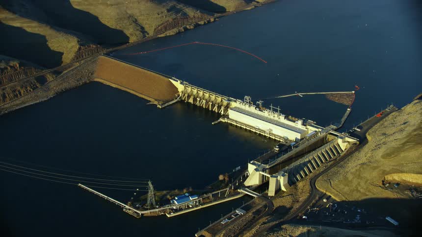
An aerial view of a river and dam
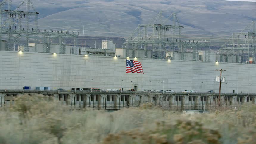
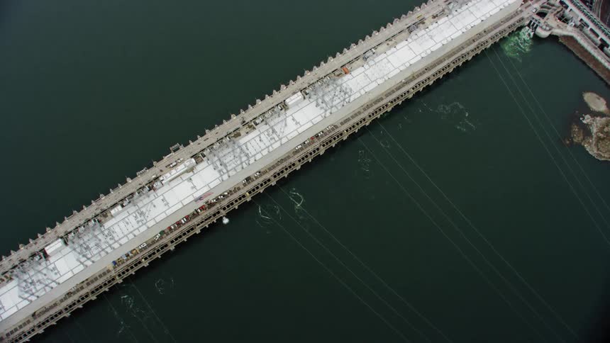
An american flag on a wall surrounding a large hyrdo electric generation station
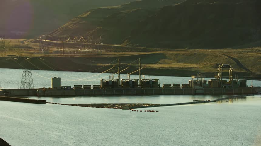
Little Goose Dam is seen far on the horizon as the setting sun casts golden hour reflective light on the Lower Snake River in the Western United States
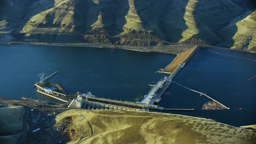
Lower Granite Dam on the Lower Snake River near Lewiston, Idaho is eclipsed by a tall hill at sunset in winter in this aerial
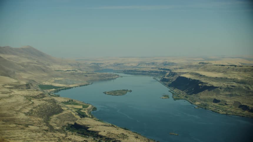
Sun baked Columbia River plateau under the hot August sun in this aerial shot of the Columbia River on a gritty hot summer day
Flying above the Columbia River Gorge and the Columbia River at sunset with beautiful puffy golden light clouds lazily hanging in the sky
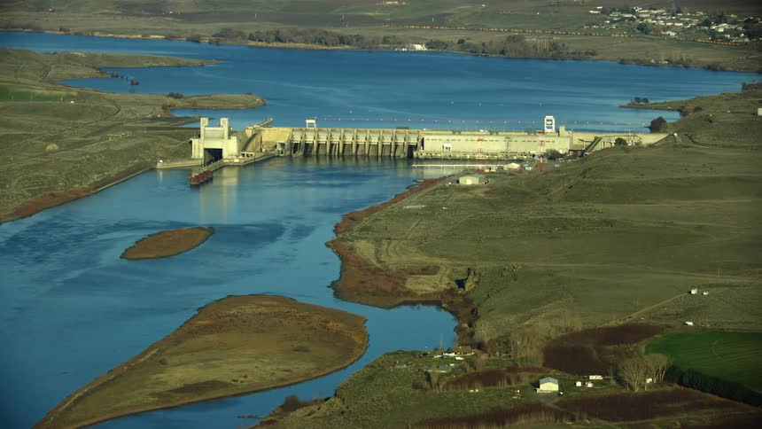
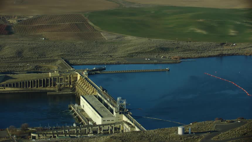
Tight shot aerial of the spillways of Ice Harbor Dam on the Lower Snake River in Eastern Washington near the cities of Pasco, Kennewick and Richland (Tri-Cities)
A highway runs along a bridge and pier through a river
Zoom reveal of Granite Dam impounding the Lower Snake River near Lewiston, Idaho as the camera reveals the vast scene in the river valley
Lower Granite Dam is seen obstructing the Lower Snake River near Lewiston Idaho in this revealing aerial shot of the Snake River at sunset
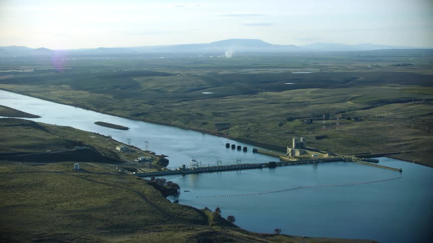
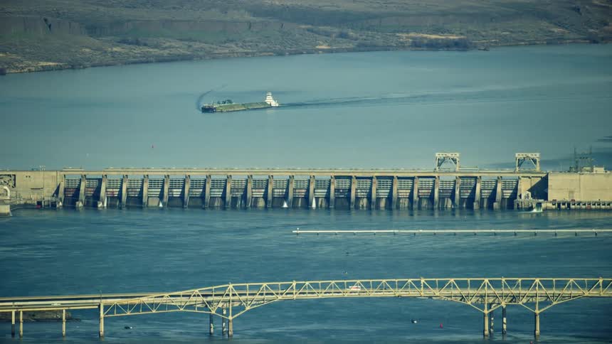
McNary Lock and Dam in Eastern Washington on the Lower Columbia River in the Army Corps of Engineers Hydro Electric Complex
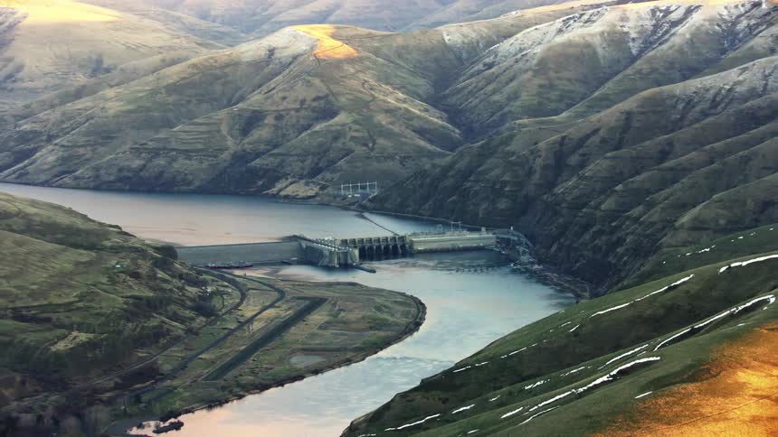
Looking down at Lower Granite Dam on the Snake River near Lewiston and Clarkston showing the impoundment and the river at sunset
Aerial of Lower Monumental Dam on the Lower Snake River in Eastern Washington where discussions are taking place on whether to breach the four dams or not for Salmon migration and tax payer savings
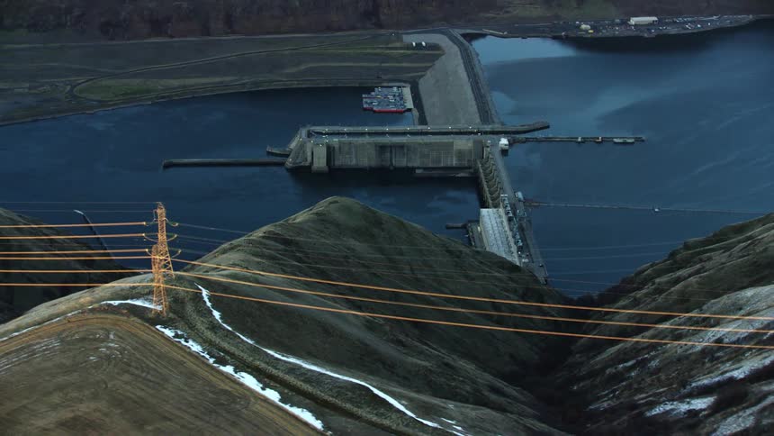
Low altitude dynamic zoom aerial of Little Goose Dam on the Lower Snake River with powerlines and the size of the dam visually communicated
Sweeping aerial of Lower Monumental Dam on the Lower Snake River near Pullman Washington and Eastern Washington University
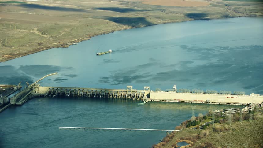
The John Day Dam on the Columbia River with a barge moving freight down the Columbia River as seen high above in this aerial in evening warm light
Aerial view of a granite dam on the lower snake river at sunset in winter showing the impact of this run of river dam
The Lower Snake River agricultural land as seen from high in the air and a calm sunny day with apples, peaches and cheeries growing on the side of the river
Lower Monumental dam on the Lower Snake River as seen from high above aerial in golden hour stunning light revealing the impact on the once free flowing river
River sits between the sandy fields
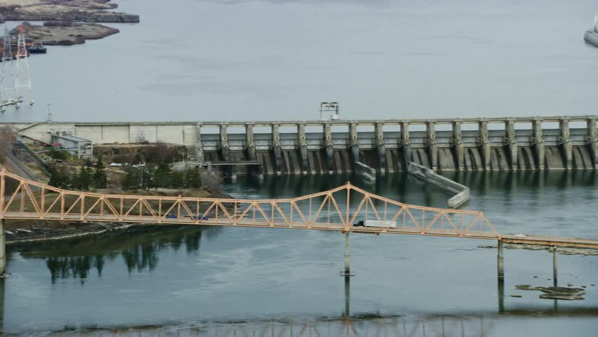
An aerial of a waterway and dam near a bridge going over way with traffic traveling on it
Wide shot of Ice Harbor Dam on the Lower Snake River, the last of four dams on the Lower Snake River that have a big impact on Salmon migration cycles and could be breached
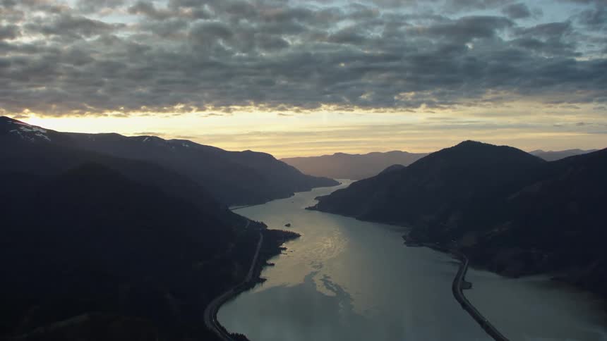
Blue hour aerial looking down the Columbia River Gorge and the Columbia River as the calm water reflects a sunset sky
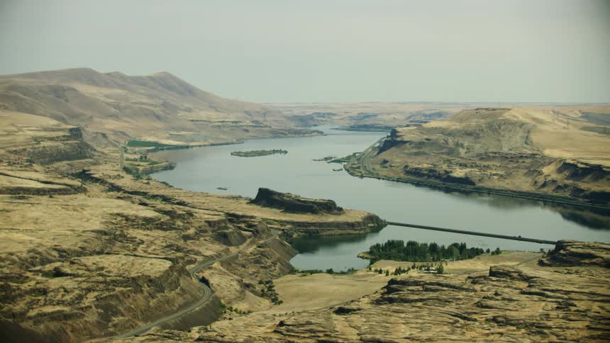
Aerial view of a the Columbia River winding around an extensive desert in warm summer light
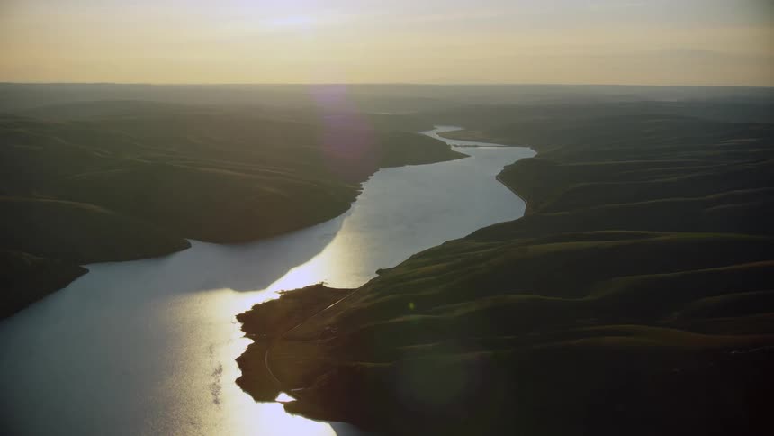
Sunset glow illuminates the Lower Snake River near the tri-cities in eastern Washington as the river water glimmers in the setting sun
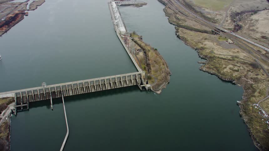
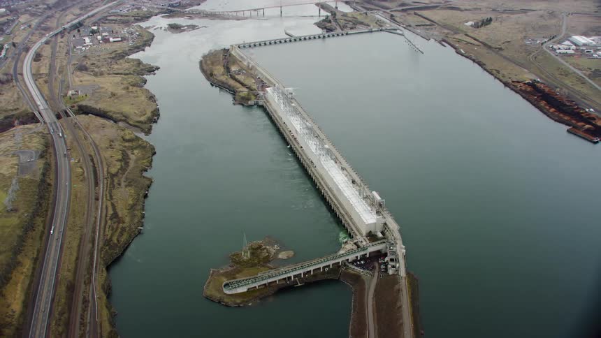
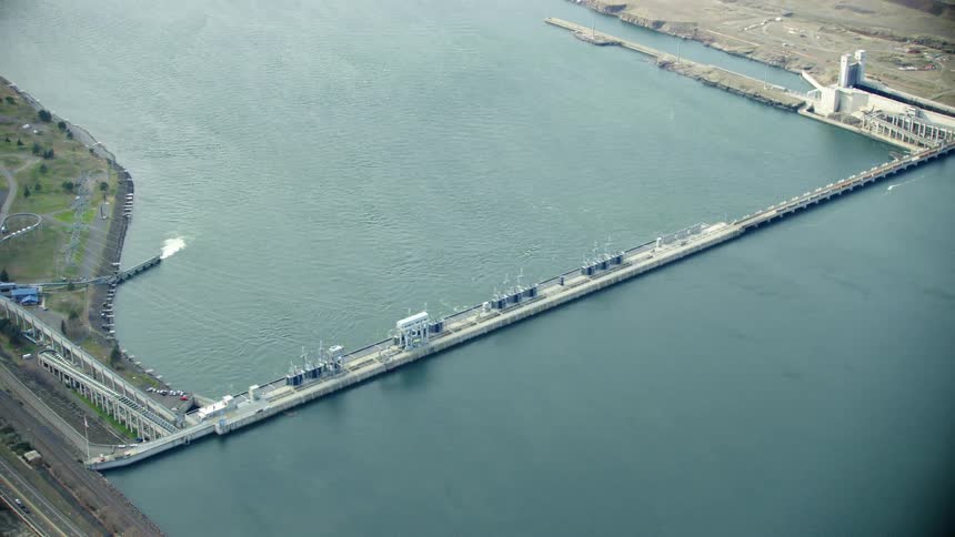
Looking down on the John Day Dam on the Columbia River on the border of Oregon and Washington with I-84 visible on the left side of the frame
Aerial view of a bridge in the ocean is displayed
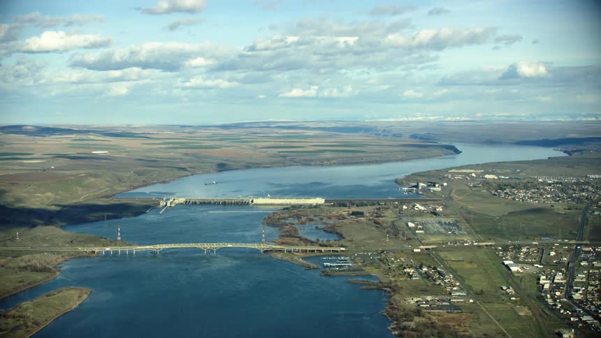
McNary Dam and Umatilla Bridge as seen from high in the air in this tight zoom aerial of the Lower Columbia River in Eastern Oregon and Washington
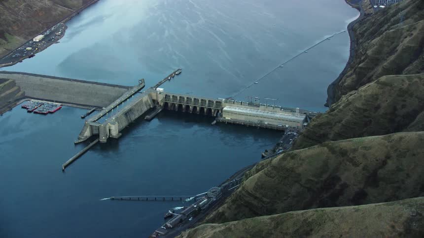
Dynamic aerial featuring high tension power lines looking straight down valley at Lower Granite Dam on the Lower Snake River as the camera wraps around the dam

Need help finding the
right footage?

Have it delivered to your account within 1 business day.

This is Filmsupply

Our StoryOur FilmmakersArticlesFilmsPopular SearchesAll Categories

FM

A family of brands dedicated to empowering the creative.

FILMSUPPLY

Footage licensing for productions

MUSICBED

Music licensing for filmmakers

STILLS

Image licensing for creatives

© 2026 FM LLC.

Privacy PolicyLicense TermsTerms & ConditionsCareers