Musicbed
Filmsupply
Stills
Contact Us(800) 805-6802
Aerial view overactive solar panels
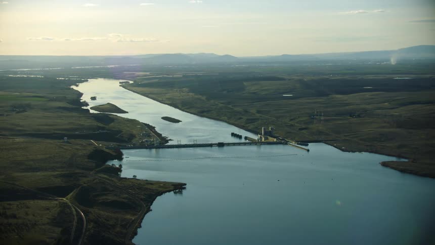
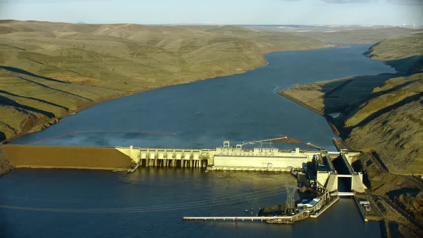
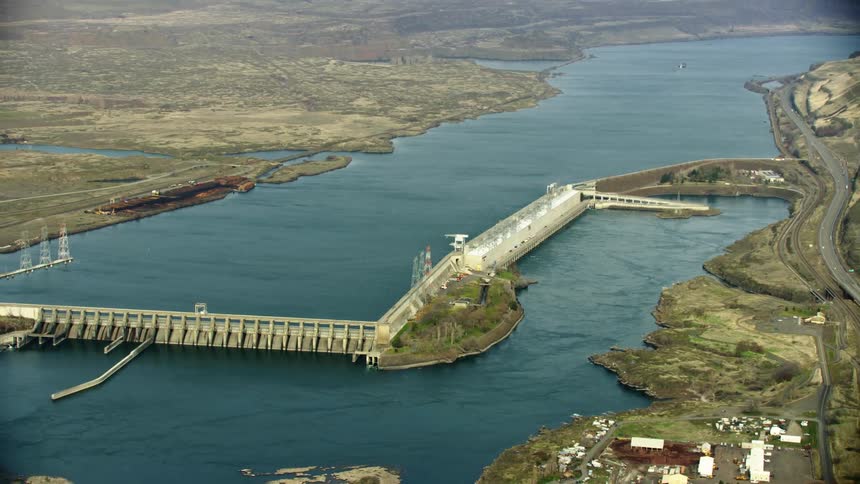
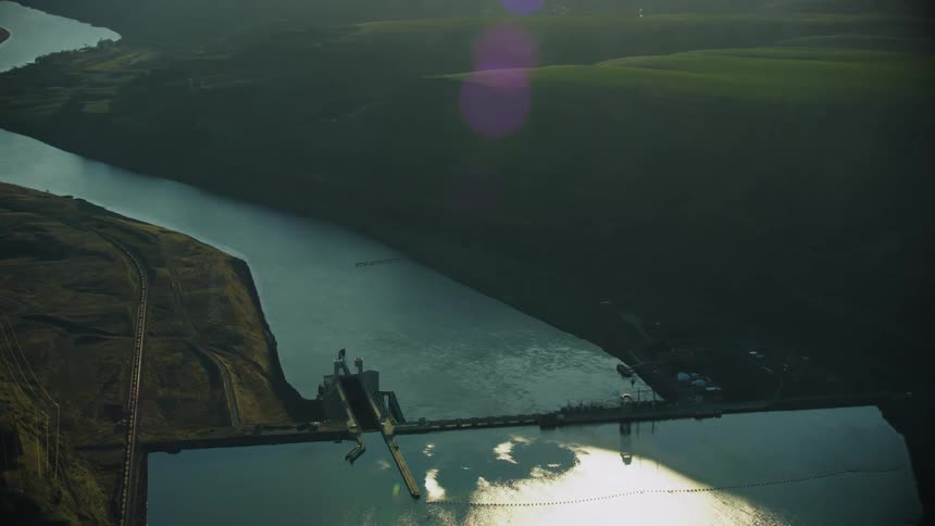
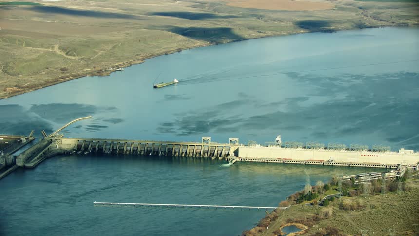
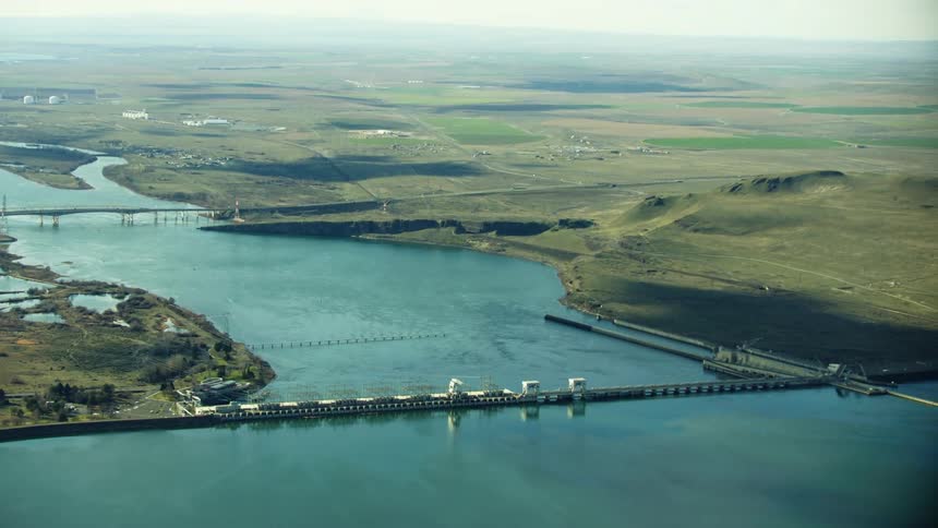
Ice Harbor Dam on the Lower Snake River in Eastern Washington near the confluence of the Columbia River with farmland and agricultural land on both sides of the river
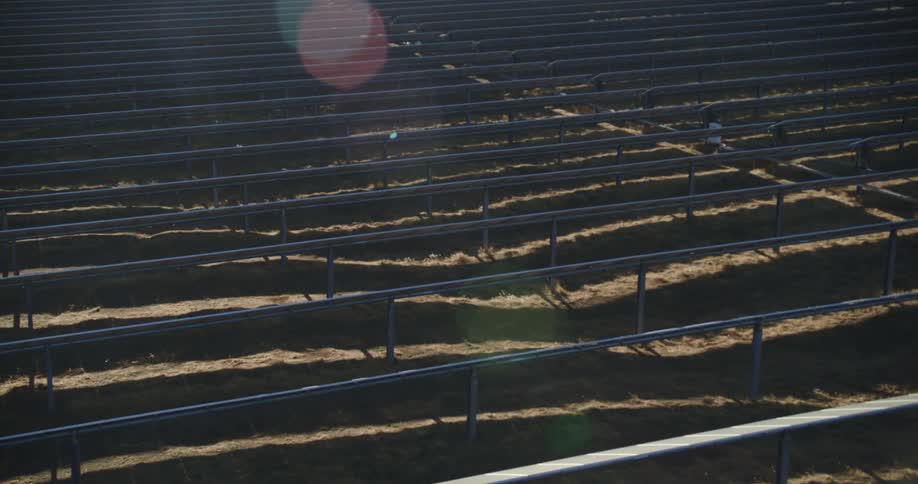
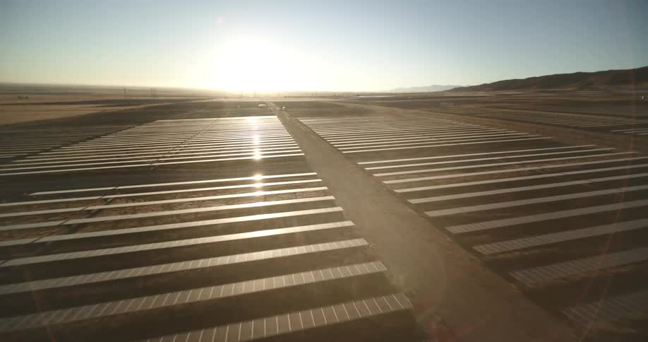
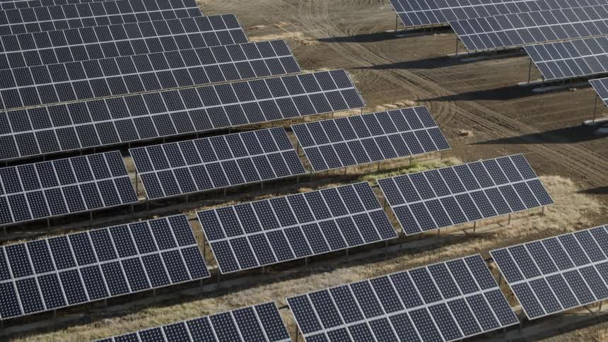
The sun shines brightly on solar panels on a solar farm
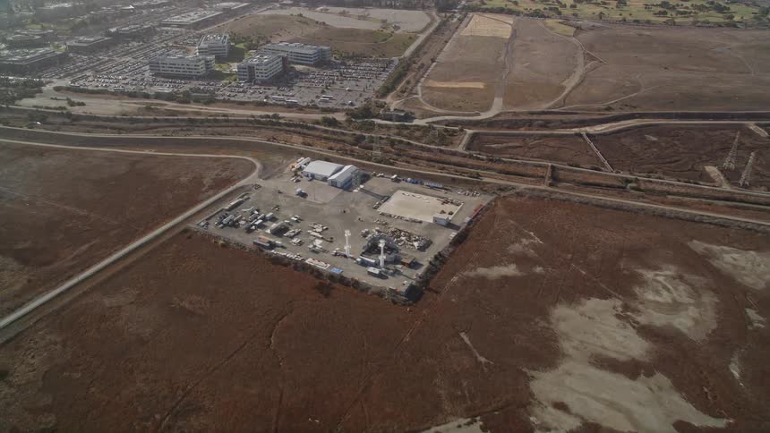
Overhead view of googles campus and the surrounding cityscape
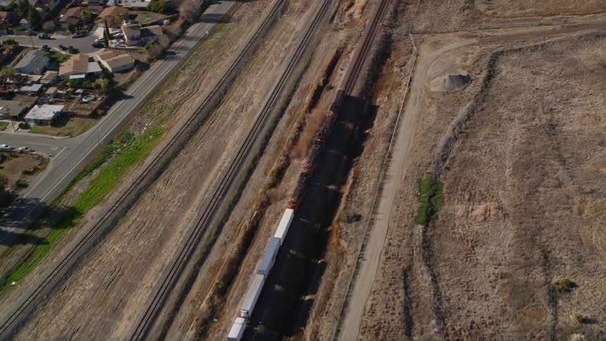
A train moves down tracks next to a suburb
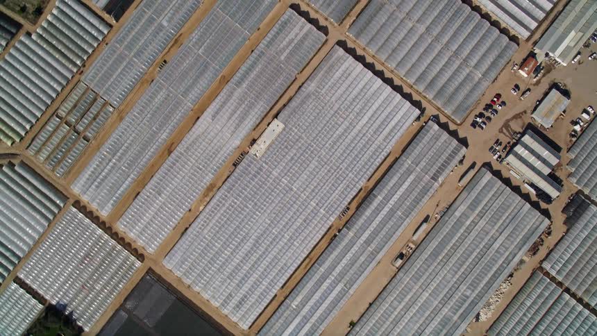
Aerial view of a large storage and warehouse facility on a rural area
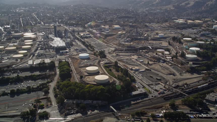
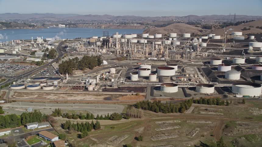
Aerial view of an industrial complex with storage tanks and an urban city on the horizon next to mountains
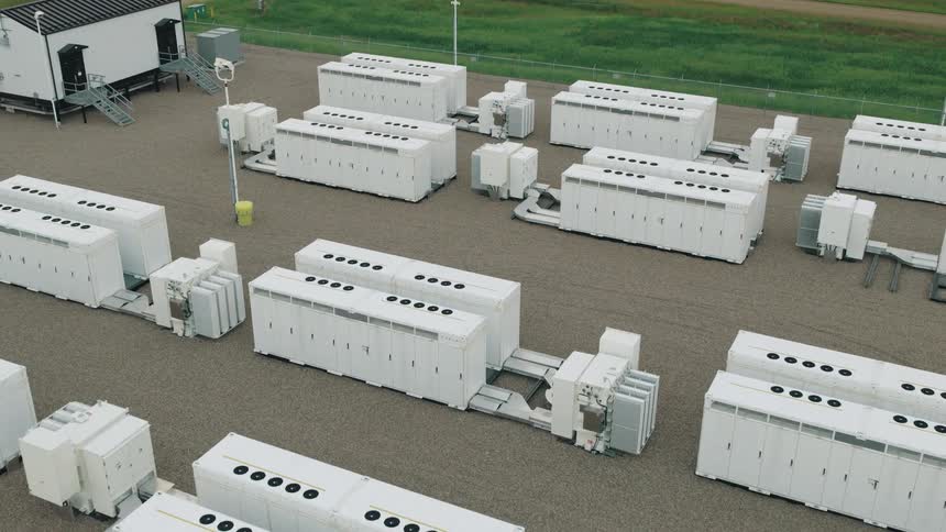
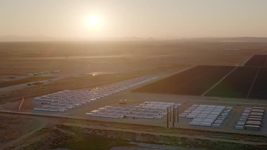
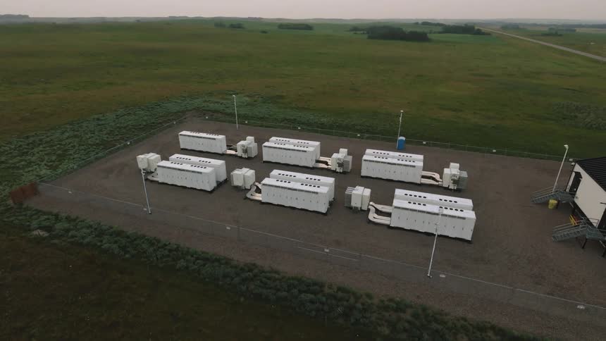
Aerial view of megapack battery grid storage system
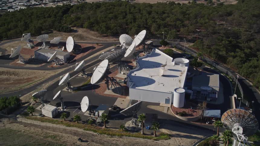
An array of satellites is on the hill above the town
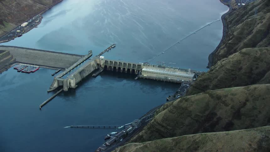
Little Goose Dam with a barge and boat navigation lock on the Lower Snake River as seen from a sweeping aerial shot
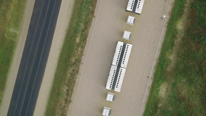
Top view of a battery power station near a road during summer
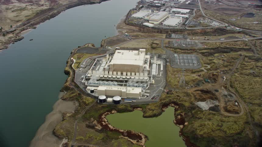
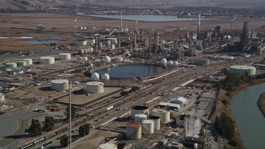
An aerial overhead view of a factory in a grassy developed area next to a river
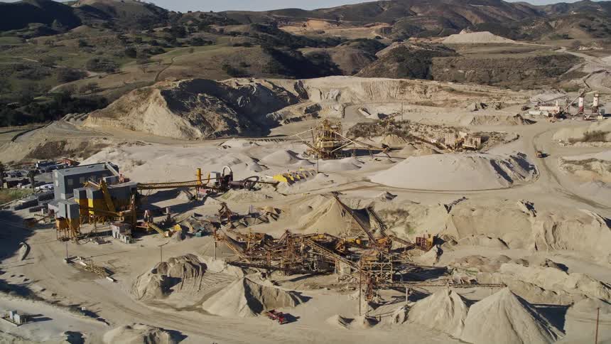
Aerial panorama of extraction machines in rock and mountain areas
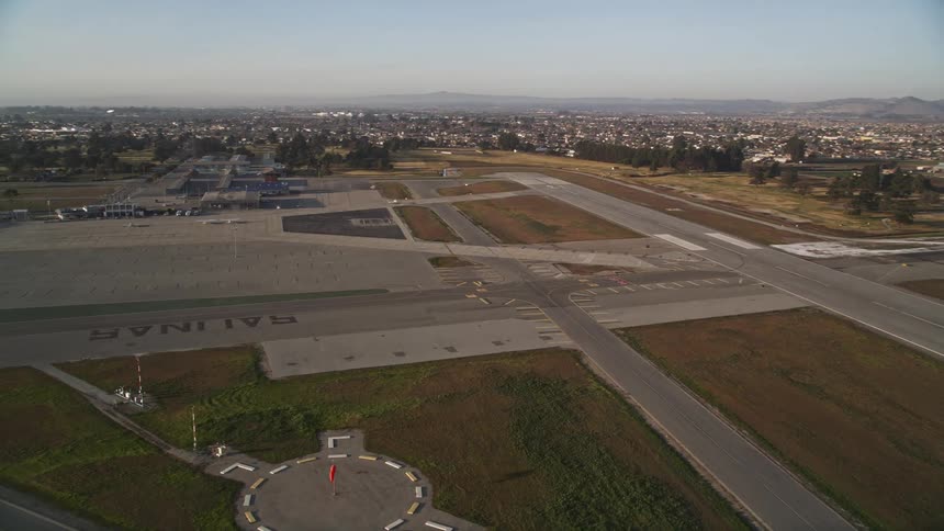
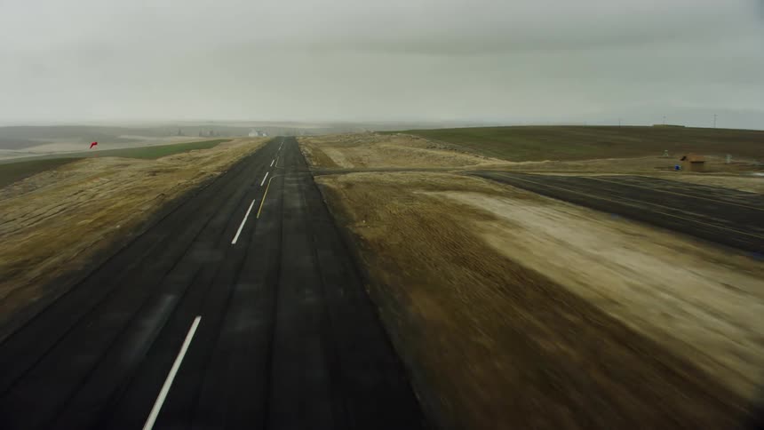
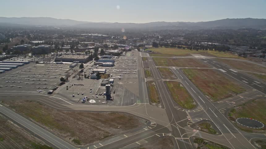
Aerial panorama of an airstrip in an urban city with mountains on the horizon
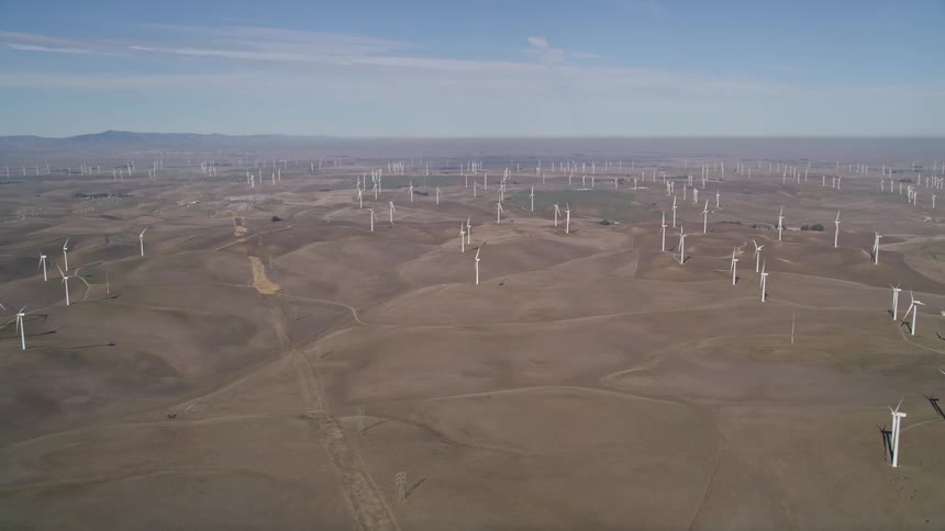
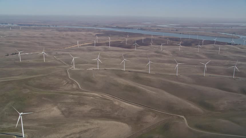
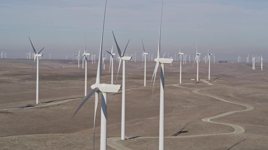
Aerial view of a wind turbine farm
A wind farm on a big grassy plain
Aerial view of power generators in a field one morning
An aerial view of large industrial battery backup units
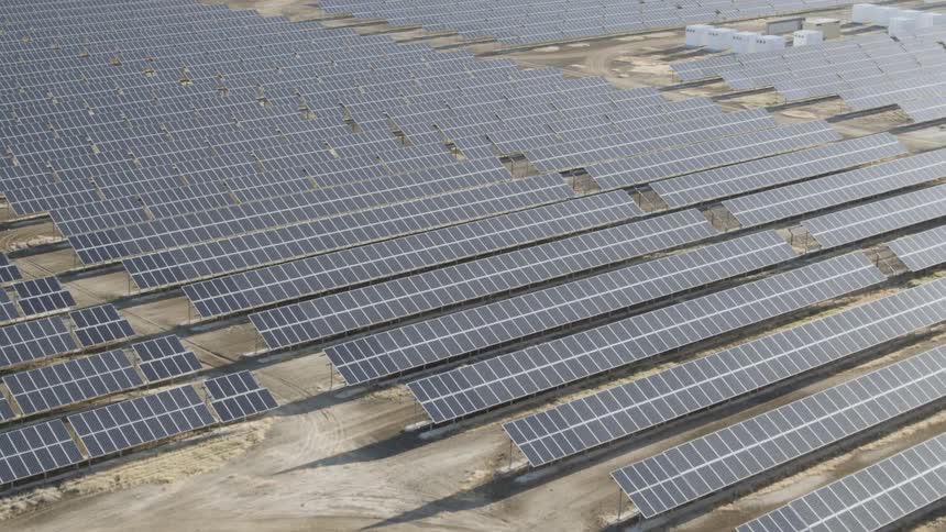
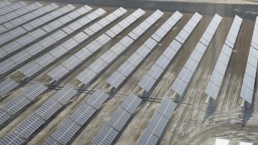
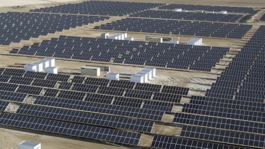
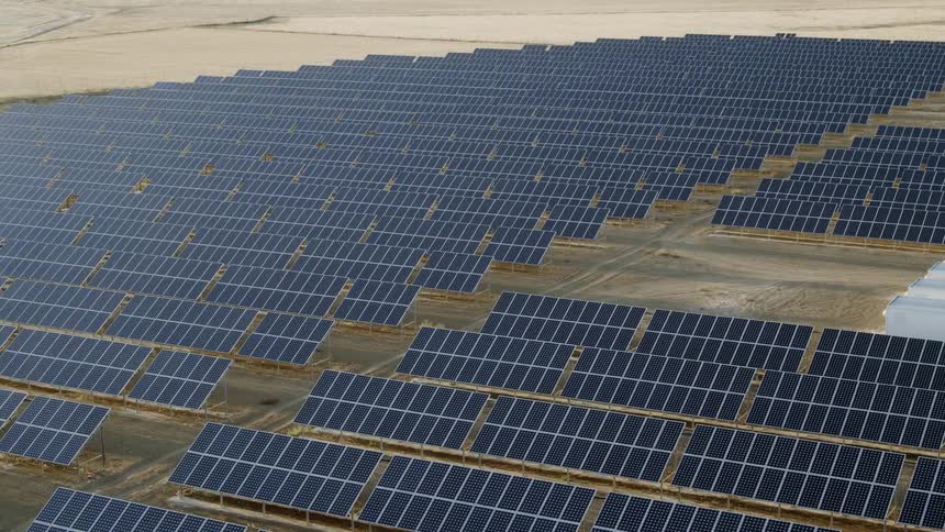
Aerial view of a large solar panel farm
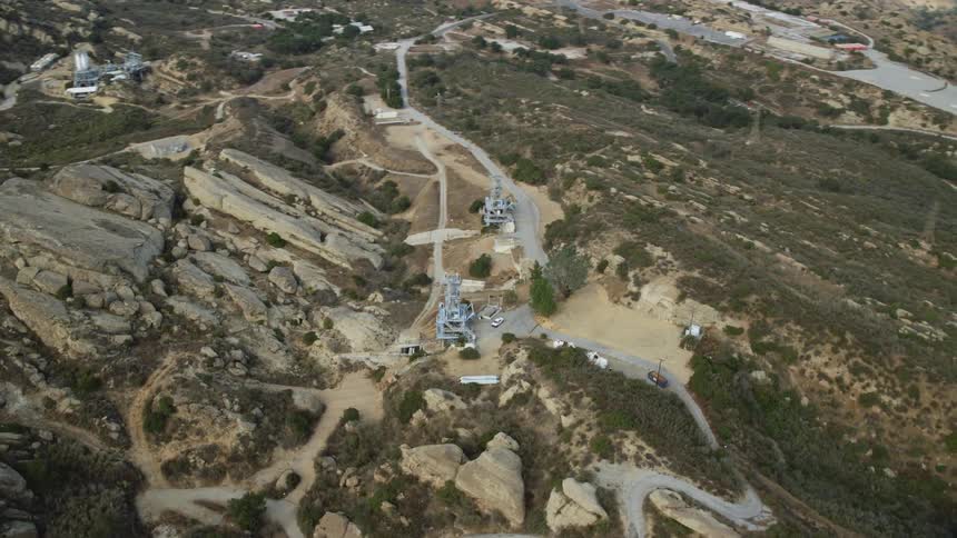
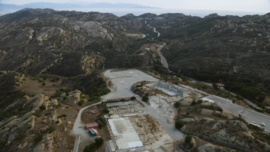
Aerial footage of Rocketdyne Aerospace Testing Facility on a hilltop in Brandeis California with the radio control towers visible
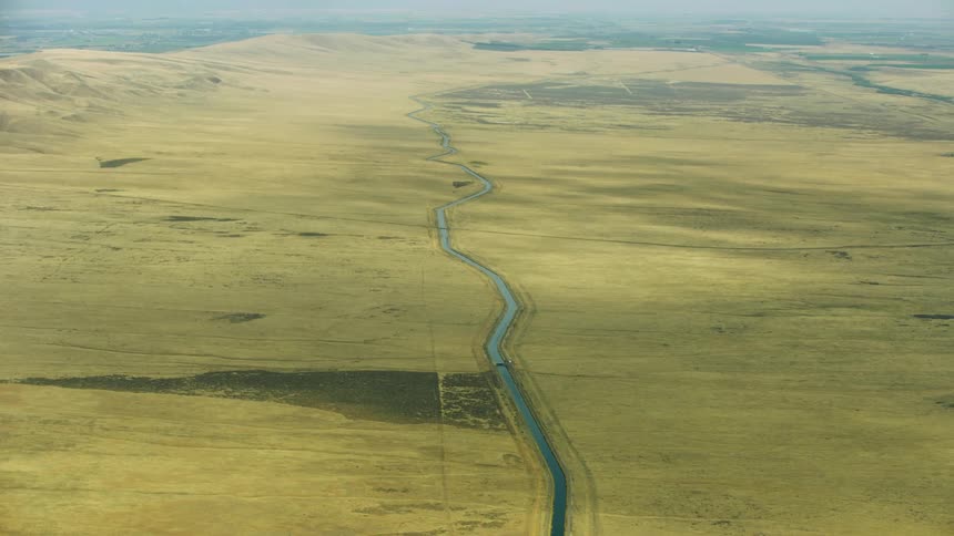
The camera tilts up revealing a vast and miles long irrigation canal as it weaves through a stark and arid desert landscape
 aerial footage flying over the Rocketdyne aerospace testing facility in Brandeis California on a cloudy day
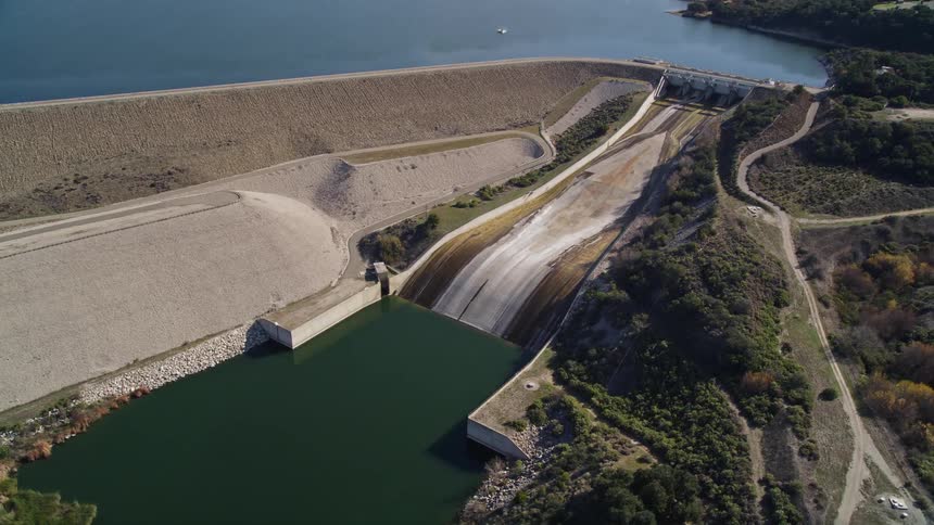
Aerial panorama of a hydroelectric plant
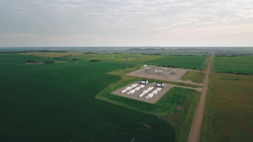
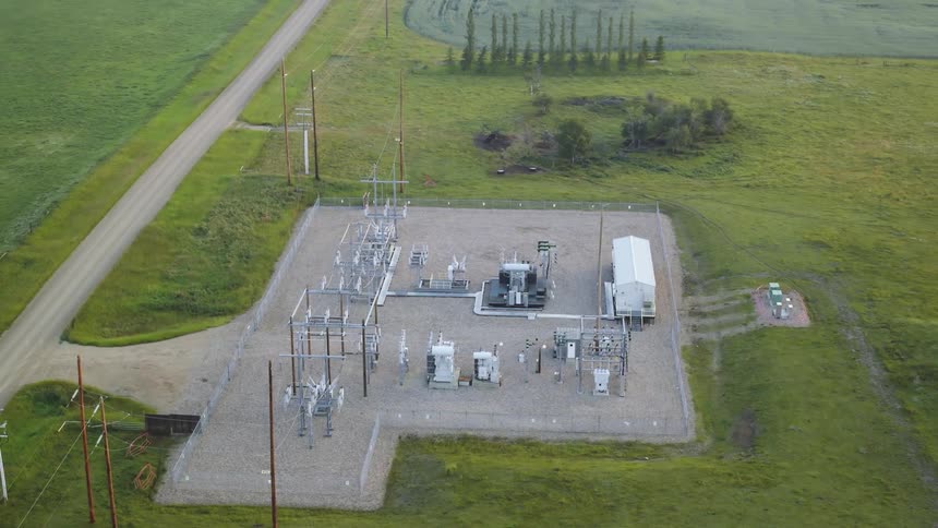
Electrical substation infrastructure in a green field
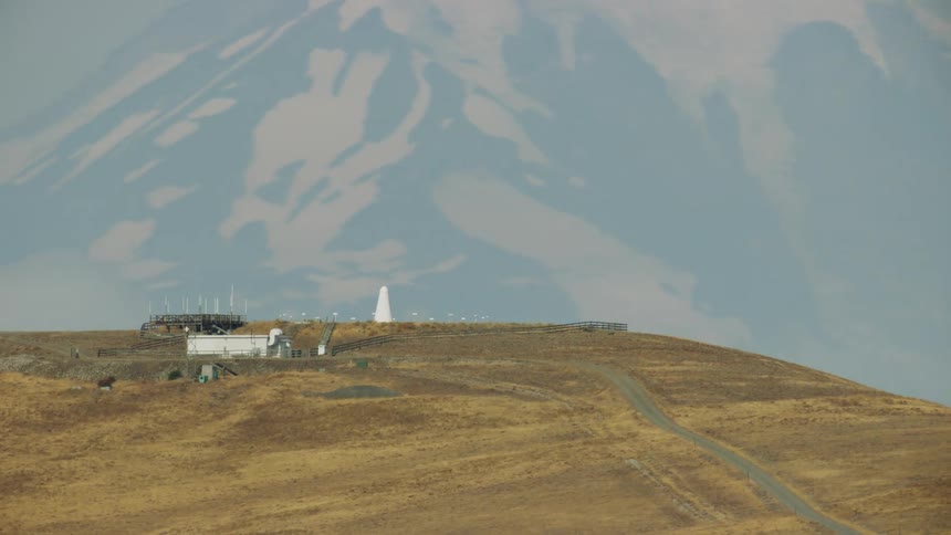
Aerial view of a VOR (very high frequency omni-directional range) helping  aircraft navigate across the United States
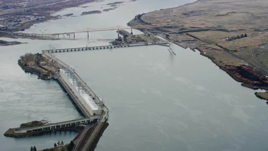
The Dalles Dam as pictured in this aerial high above the Columbia River, this dam has an unusual shape and impounds the Columbia River and Celilo Falls
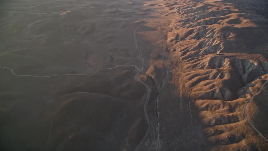
Aerial view of a rugged landscape with undulating hills and valleys during golden hour sunlight
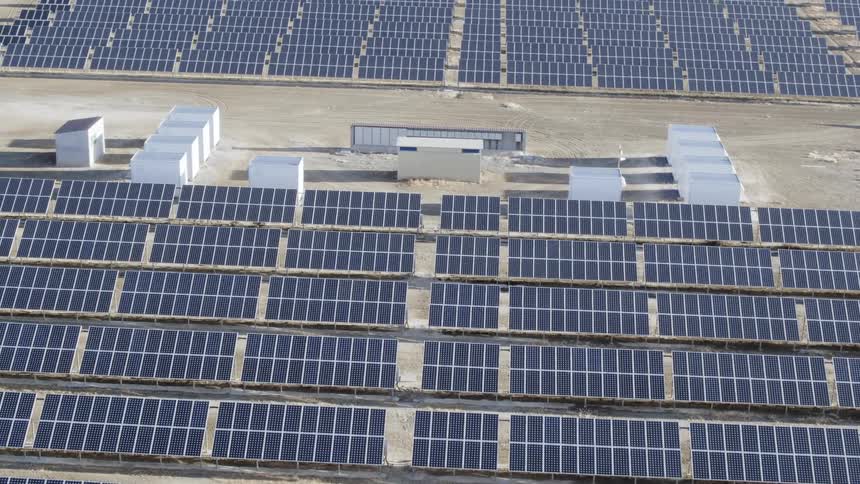
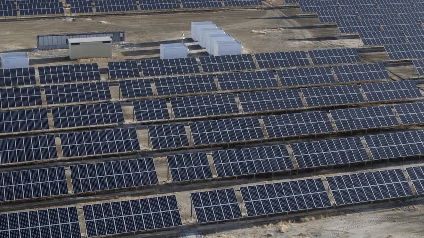
Aerial view of a solar power station with solar panels on a vast field
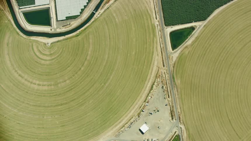
An irrigation canal weaves through arid farmland in this looking straight down aerial
Aerial panorama of power plants and factories by the sea and surrounded by mountains
Slow pan over a solar panel farm
Lower Monumental dam on the Lower Snake River as seen from high above aerial in golden hour stunning light revealing the impact on the once free flowing river
The sun shines brightly on solar panels on a solar farm with mountains in the distance
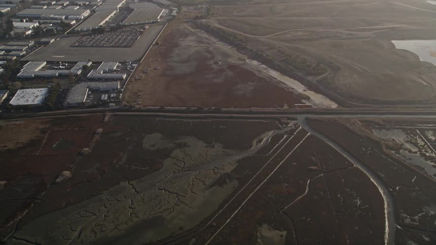
Aerial panorama of a plot of land with canals and a nearby industry
A view of a lonely highway that leads to a vast open field
A large factory is by the shore
Aerial panorama of lakeside power plants in a natural setting with an urban city on the horizon and hills
An aerial flyby of a battery grid storage system in summer
A bridge leads to a pier along the coast
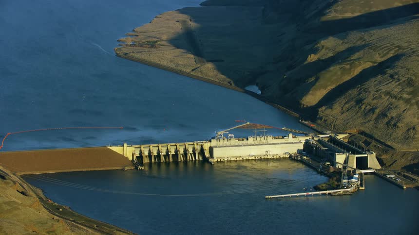
Aerial view of a granite dam on the lower snake river at sunset in winter showing the impact of this run of river dam
Aerial scene of the runways of an airport located in the middle of an urban city with mountains around on a clear blue sky day
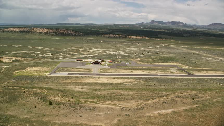
Aerial view of Bryce Canyon Airport in Utah with a single runway wood hangar and small airfield during a partly cloudy summer day
Solar panels are directed towards the sunlight
The sun shines on rows of solar panels
Aerial panorama of wind energy platforms and engines in natural fields on the edge of a river
A field is filled with solar panels
Solar panels lie along a field in the desert
Aerial view of electrical battery grid storage
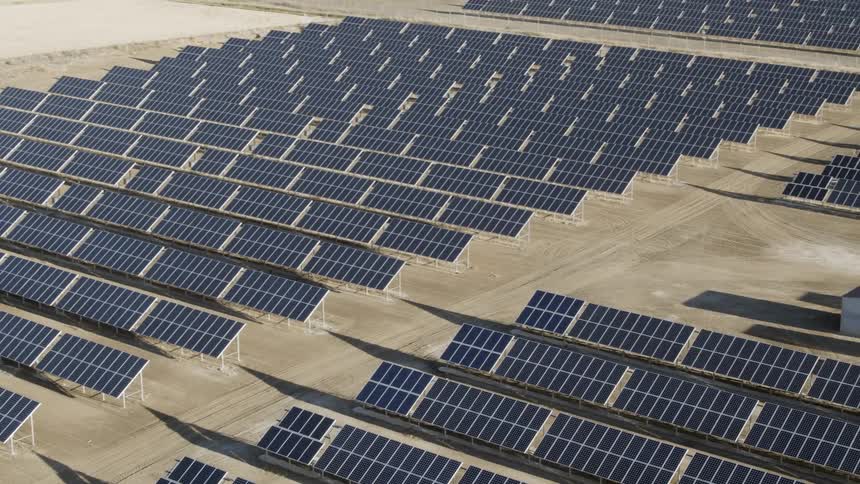
Row after row of solar panels cover the barren ground
Panorama of power generators and in the field one morning
A clip of wind turbines in a desert
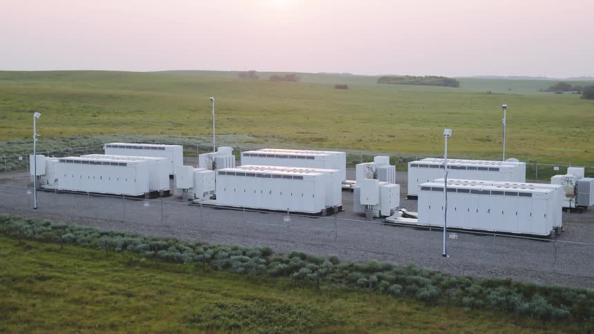
Aerial view of a cluster of white rectangular structures neatly aligned on a plot of land surrounded by grass
A solar farm sits in the desert with rows and rows of panels
The John Day Dam on the Columbia River with a barge moving freight down the Columbia River as seen high above in this aerial in evening warm light
Lower Monumental Dam on the Lower Snake River in this high altitude aerial in golden hour light revealing the impoundment spanning the Army Corp of Engineers Dam
McNary Locke and Dam is visible in the foreground with I-82 in the background in this wide aerial of the Lower Columbia River Dam network
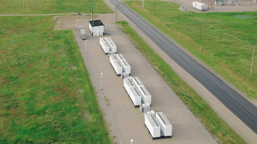
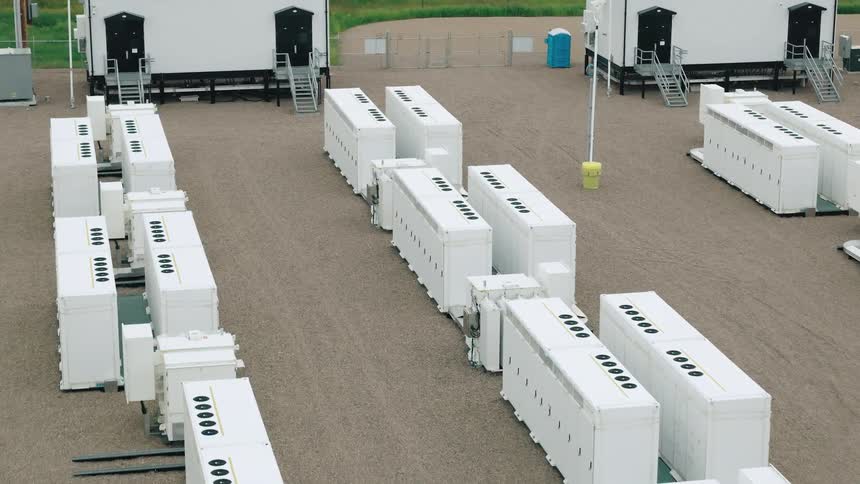
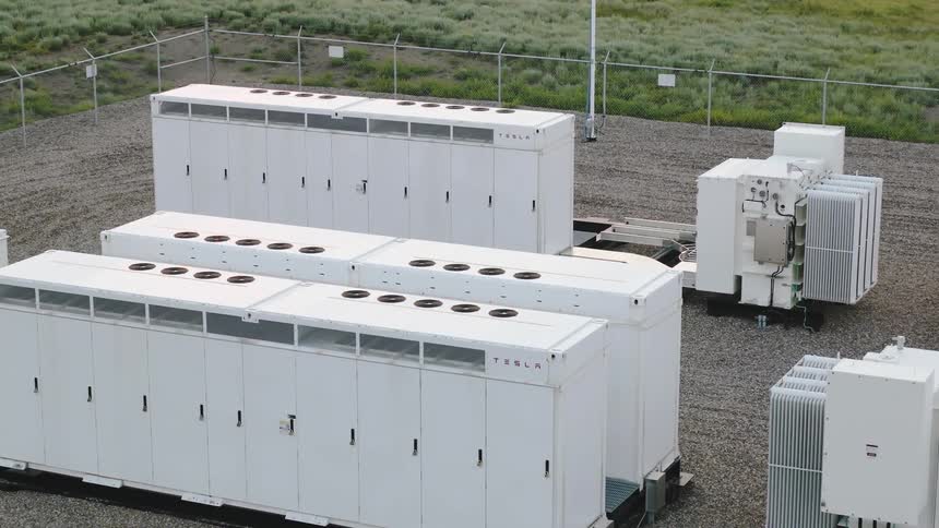
Detailed aerial of battery grid storage cabinets and equipment
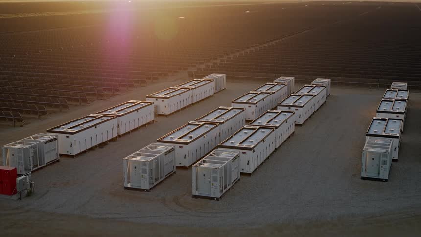
Compact battery power units line a solar farm under golden evening light
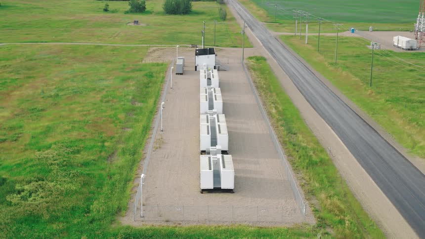
Megapack battery backup facility near a road
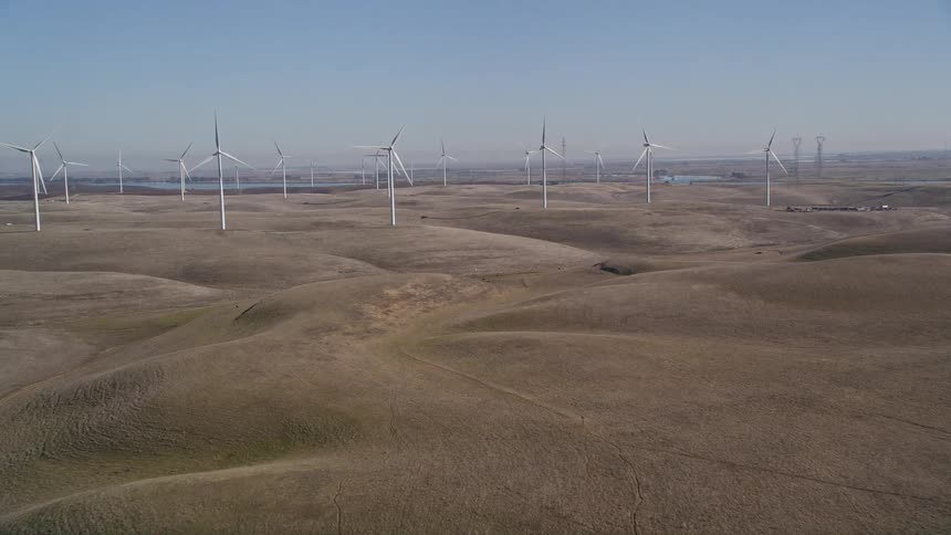
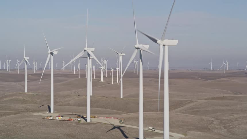
An aerial view of a wind turbine farm generating power
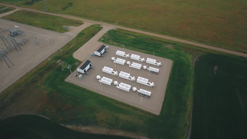
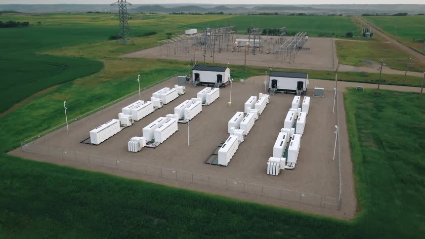
Two power backup facilities off of a road in a rural area
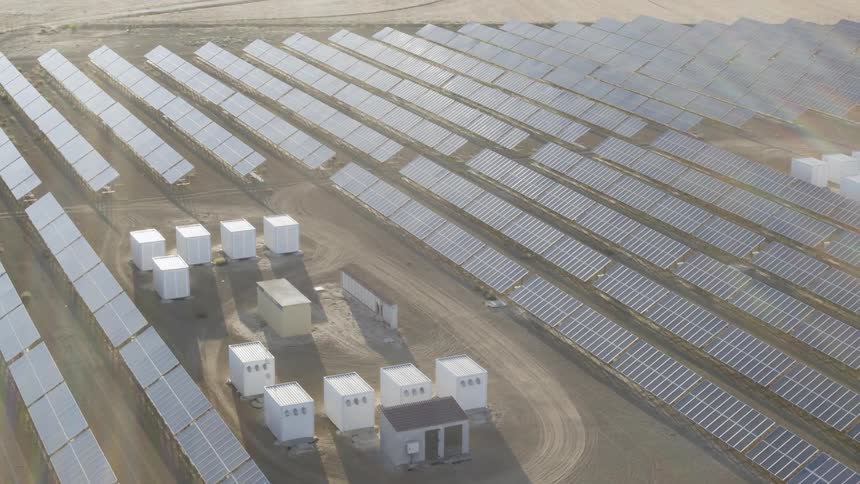
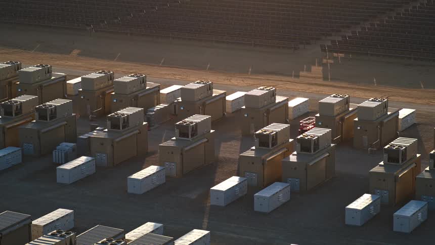
A large aerial array of white battery units stretch across a flat arid landscape of solar panels
Solar panels are directed towards the sunlight

Need help finding the
right footage?

Have it delivered to your account within 1 business day.

This is Filmsupply

Our StoryOur FilmmakersArticlesFilmsPopular SearchesAll Categories

FM

A family of brands dedicated to empowering the creative.

FILMSUPPLY

Footage licensing for productions

MUSICBED

Music licensing for filmmakers

STILLS

Image licensing for creatives

© 2026 FM LLC.
Privacy PolicyLicense TermsTerms & ConditionsCareers