Musicbed
Filmsupply
Stills
Contact Us(800) 805-6802
Aerial view of a vast valley with rocky terrain flanked by steep mountains
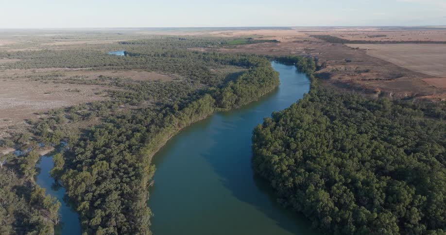
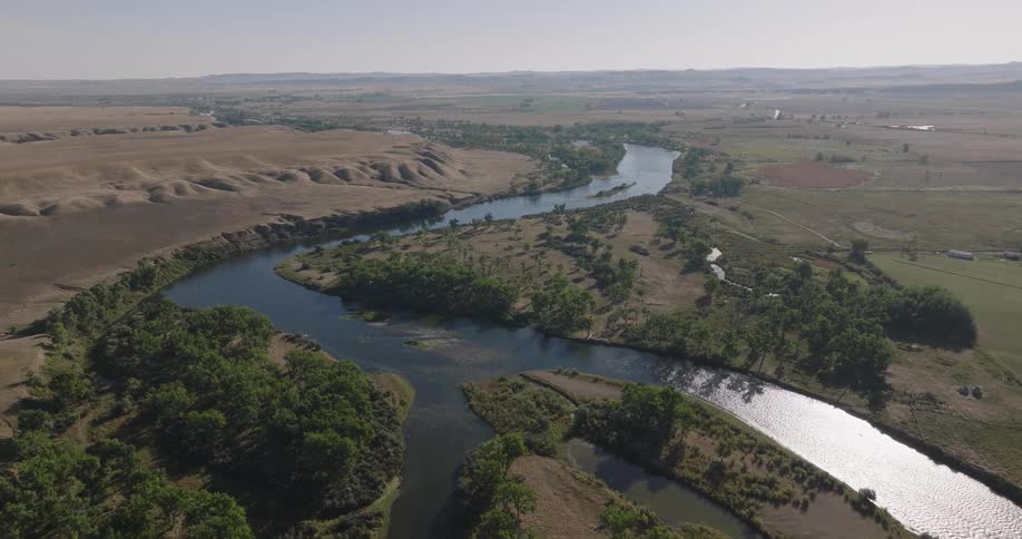
A winding river cuts through dense forest bordered by dry open plains
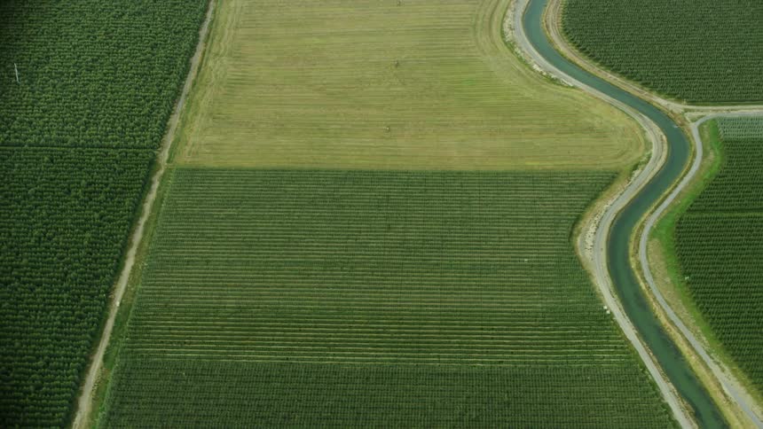
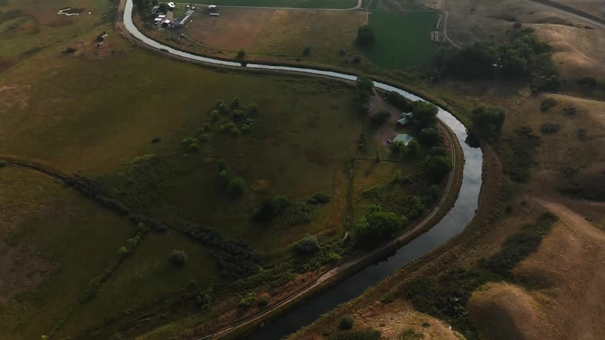
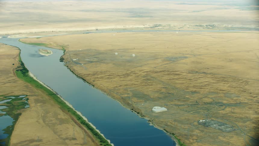
High energy aerial shot as the camera rapidly passes over a meandering irrigation canal as it weaves through orchards, row crops and corn in the arid dry desert west
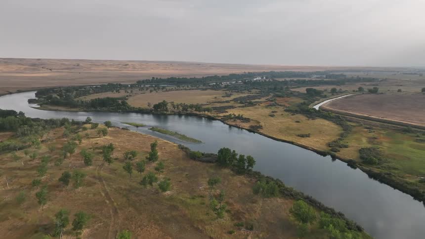
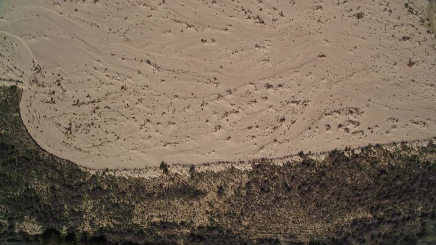
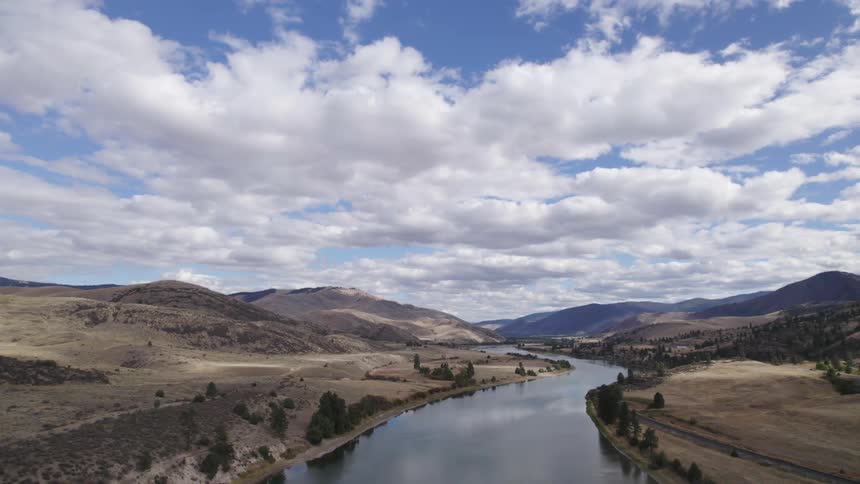
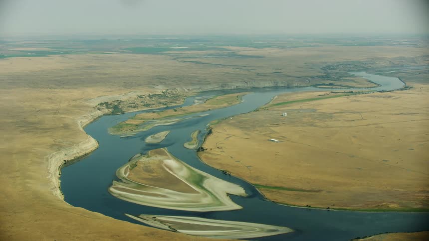
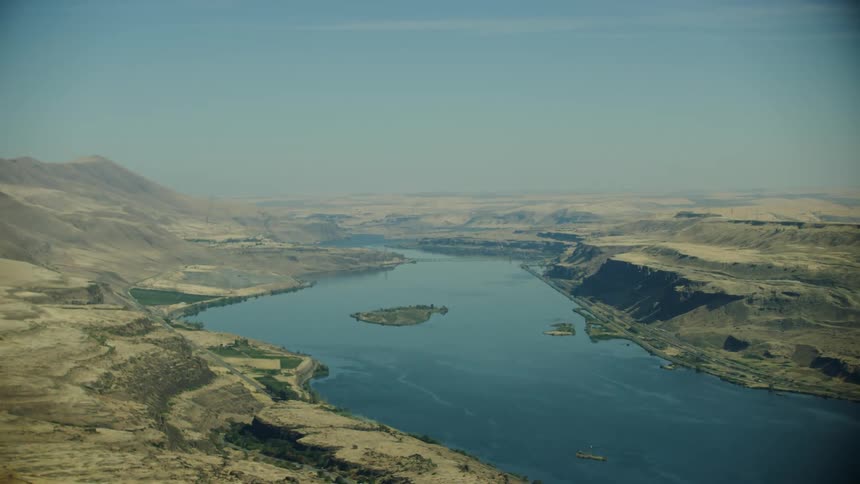
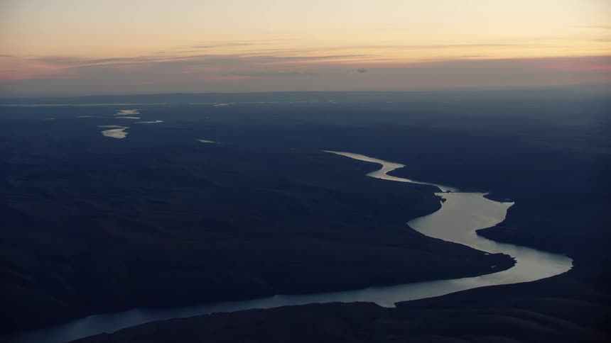
An aerial view follows a wide river as it winds through a vast dry valley with trees clustered along its banks under a hazy sky
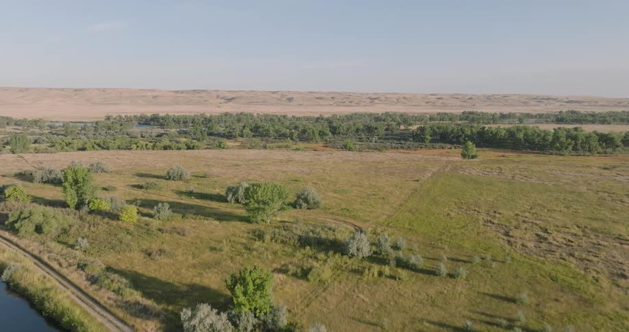
An aerial view of grassy fields separated by rows of bushes
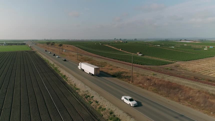
Cars drive past the vast crop fields of the farm
The farm land covers the horizon
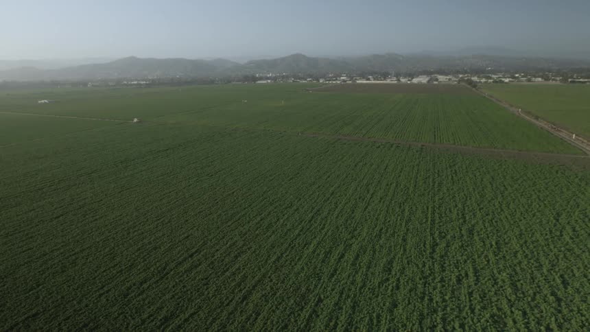
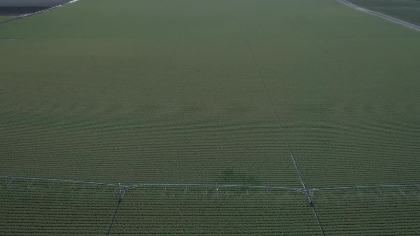
Green fields sprawl ahead
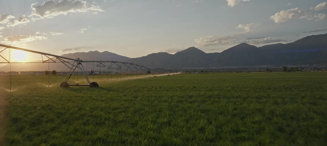
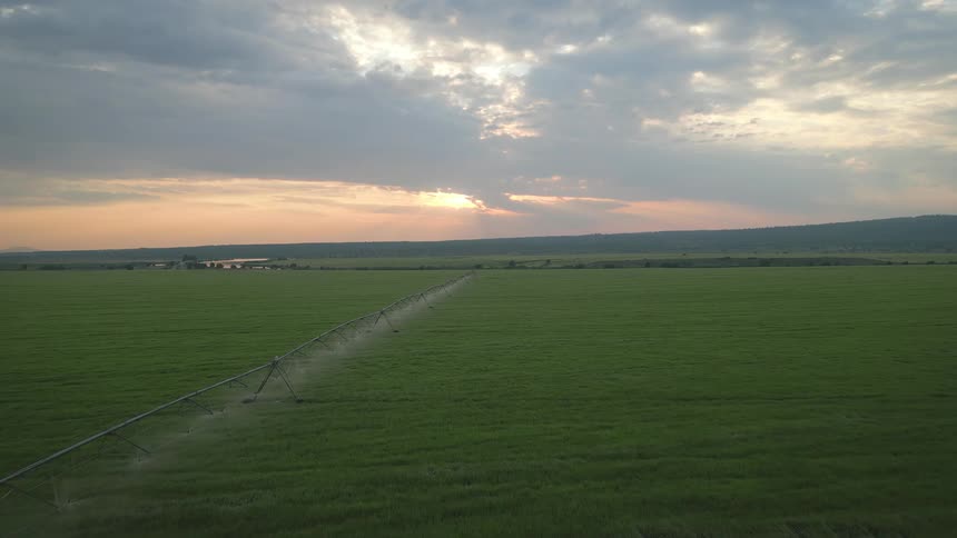
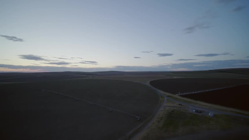
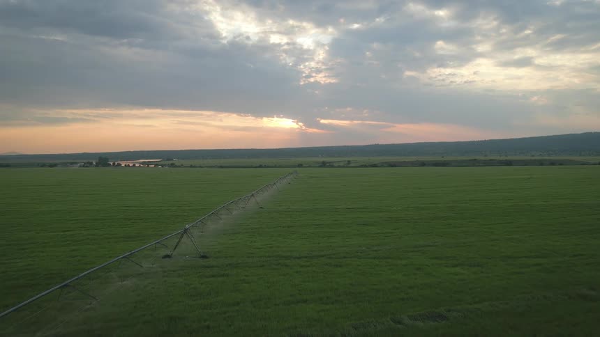
A green field with a center pivot irrigation system at sunset beside the mountains
Netting over a body of water
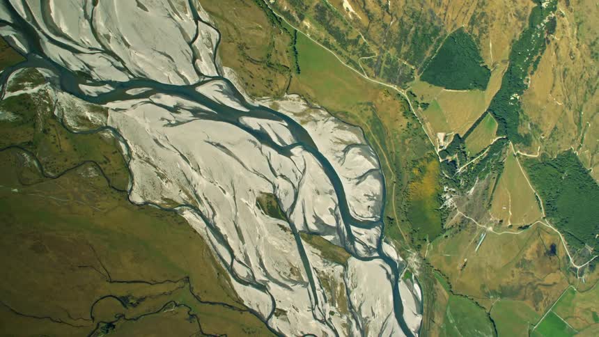
An aerial view of a river
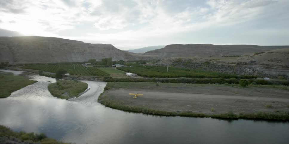
A creek runs by a field with a plane parked
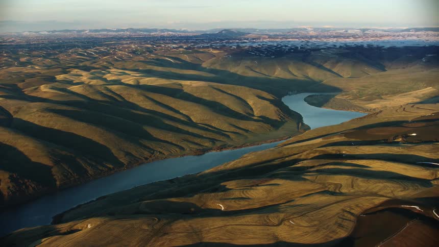
Looking east up the Lower Snake River valley as it flows through four impoundments in Eastern Washington State
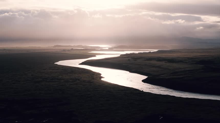
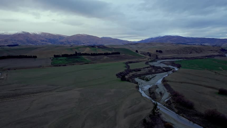
A winding river runs through an open landscape under dramatic cloudy skies
A river through a hilly countryside during the day
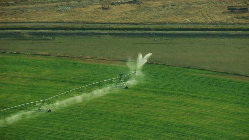
The circle pivot irrigation system is spraying water on the field of green grain
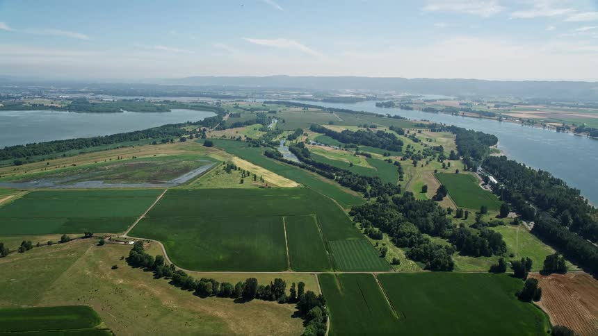
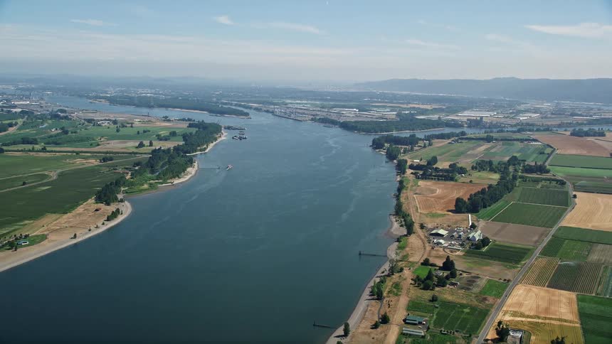
Aerial view of farms and green fields near the Columbia River in Vancouver Washington during a sunny summer day
Rolling hills of a sunny day
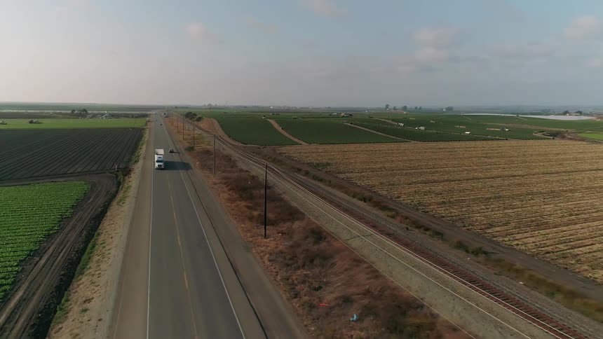
Cars drive along the road by the farms
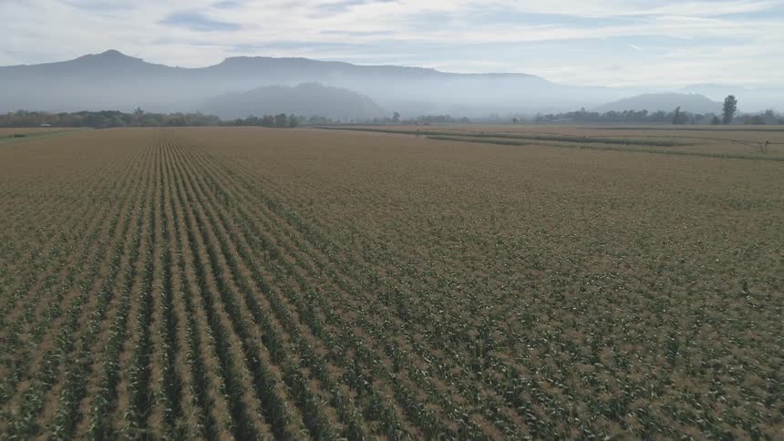
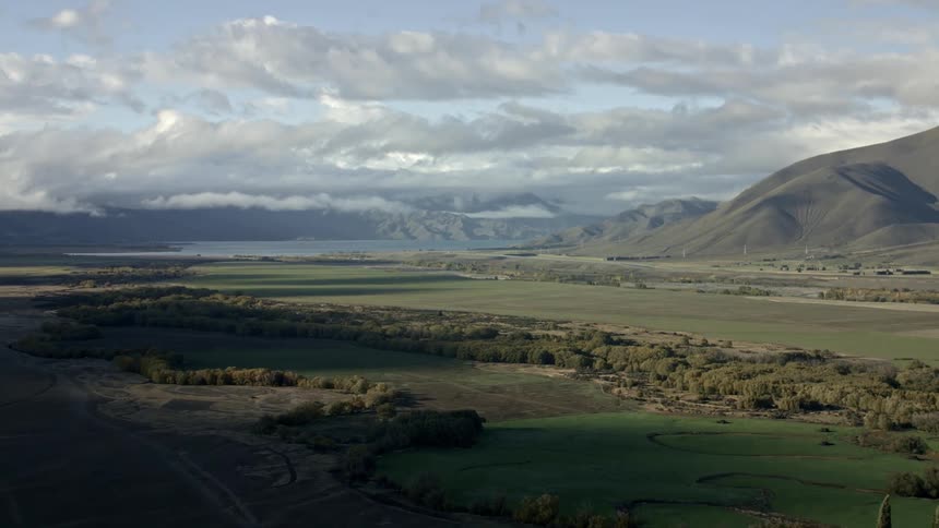
Vast farmland in front of mountain range with fog
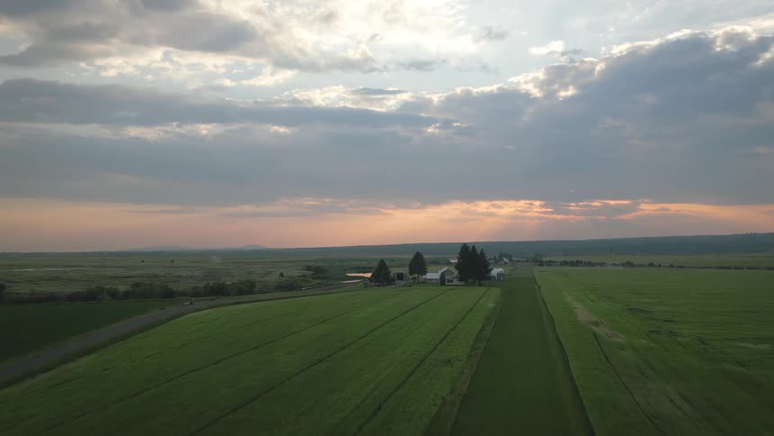
Clouds float over a rural farmland landscape at sunset
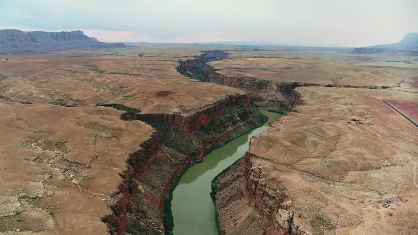
A murky river running along the bottom of a canyon on a cloudy day
Aerial view of the Hanford Reach on the Columbia River in Washington
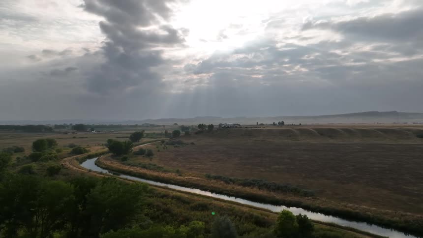
An aerial view shows a narrow river winding through a rural landscape with fields and scattered buildings under a cloudy sky with visible sunrays
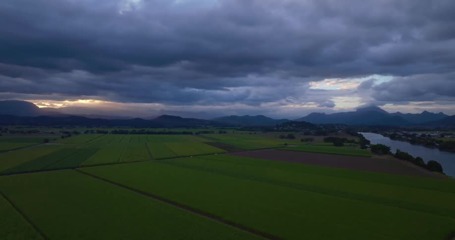
Water stream dividing plain areas of land outdoors during dusk or dawn
An aerial view shows vast cultivated fields stretching towards a distant horizon
Fly over a freshly plowed field and dirt road in Camarillo California during a sunny day
Aerial panorama of a winding river surrounded by plateaus and mountains on a cloudy day
The landscape is full of farm land
A plain field surrounded by grasses at midday
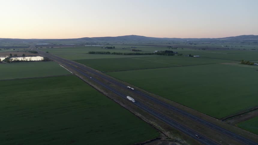
Cars and trucks travel on a divided highway through lush farm land with hills on the horizon
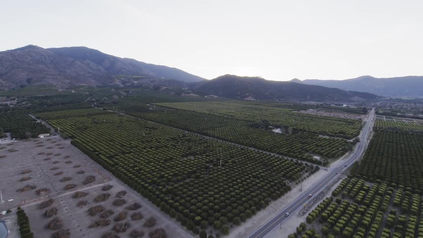
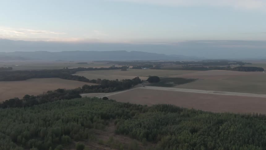
The fields below are green and full of trees
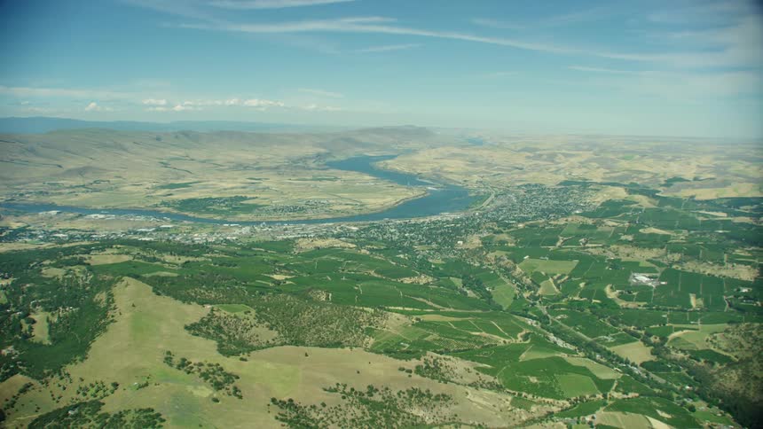
The Dalles, Oregon as seen from 10,000 feet with the Columbia River flowing past
A forwardmoving aerial view glides over an irrigation canal and a grassy plain towards distant sandy hills on a hazy day
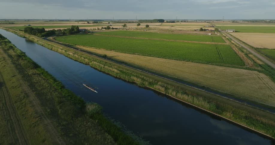
Aerial view of a rowing team next to farm fields
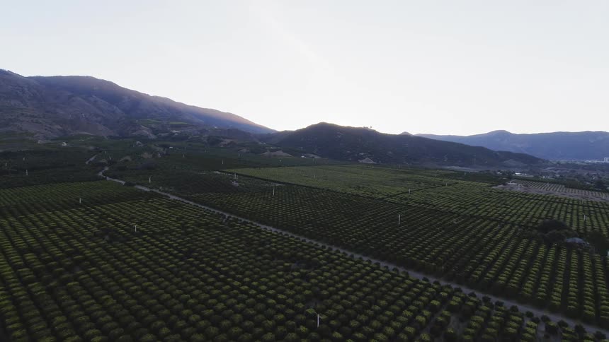
Rows of trees grow in an orchard
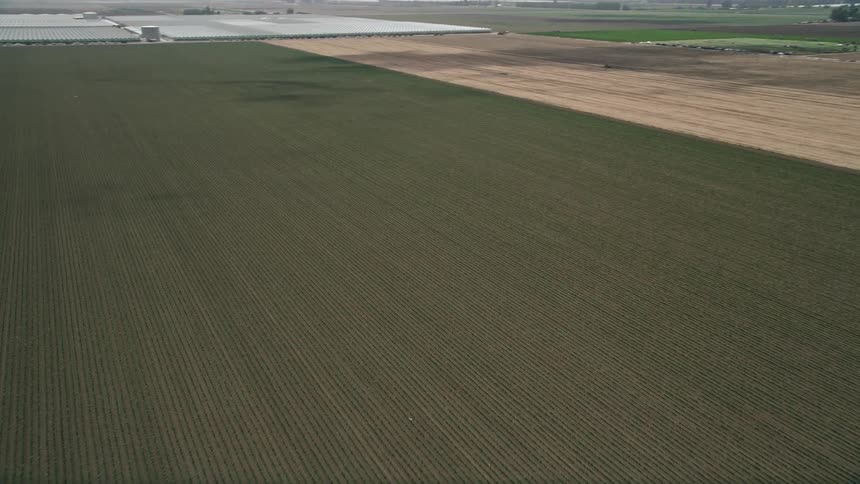
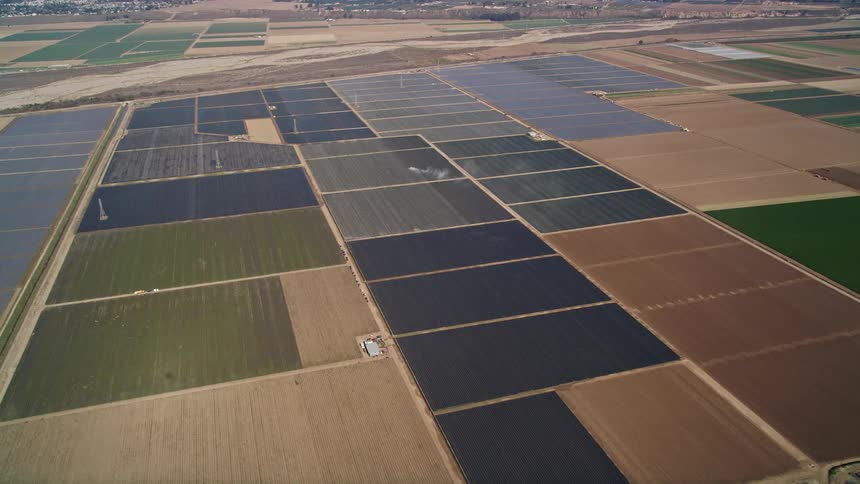
Large agriculture fields in a rural area
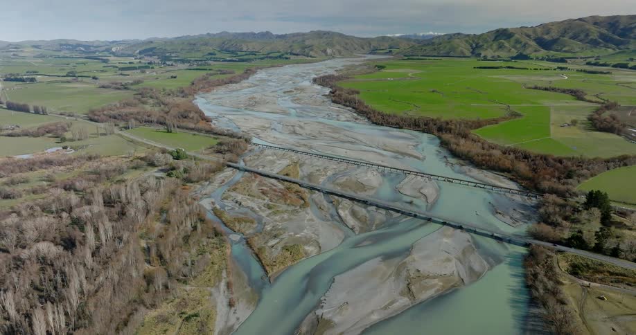
Drone view of a river flowing through a flat land with roadways and bridges traveling over the river
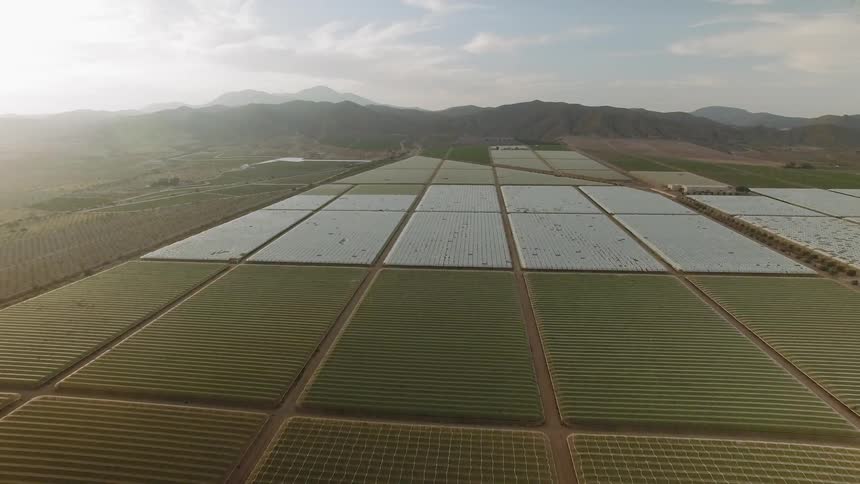
Crops in a field are divided into rows and grids some covered
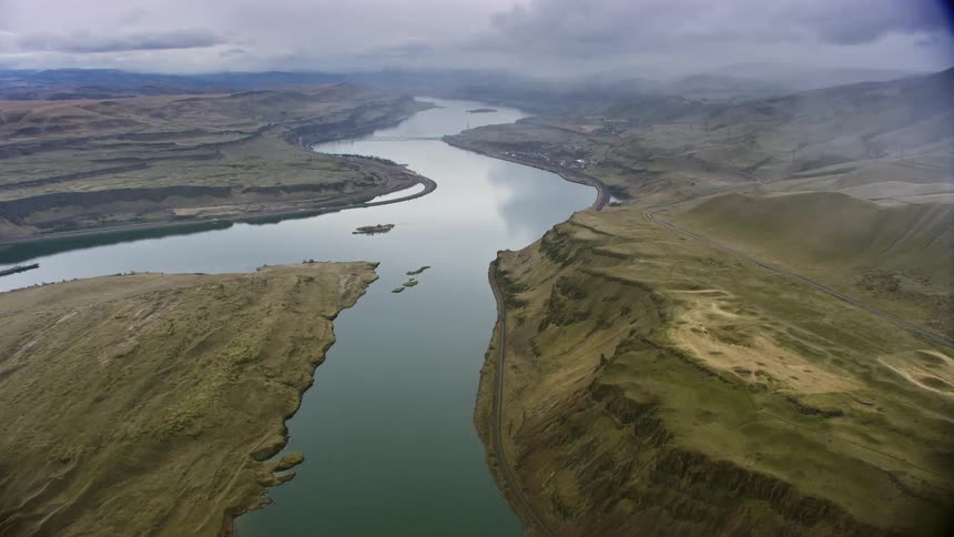
An aerial landscape of a river through a canyon with hilly and mountainous ranges on either side
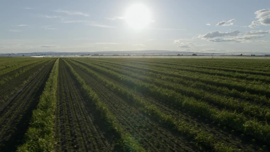
Traverse across rows of young pepper plants growing under warm sunshine
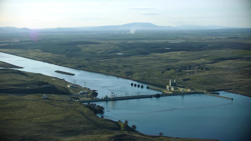
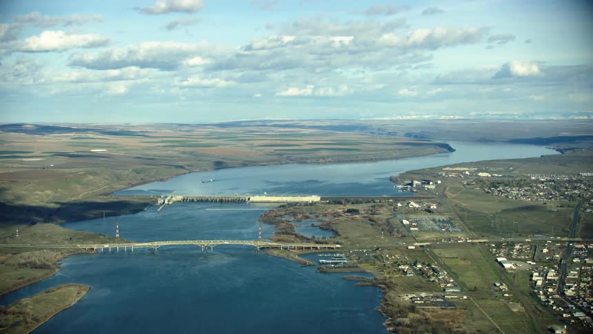
McNary Locke and Dam is visible in the foreground with I-82 in the background in this wide aerial of the Lower Columbia River Dam network
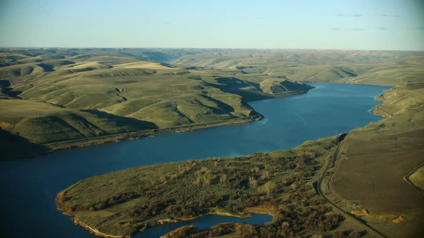
Aerial of the Lower Snake River corridor as seen from high above the river in an airplane
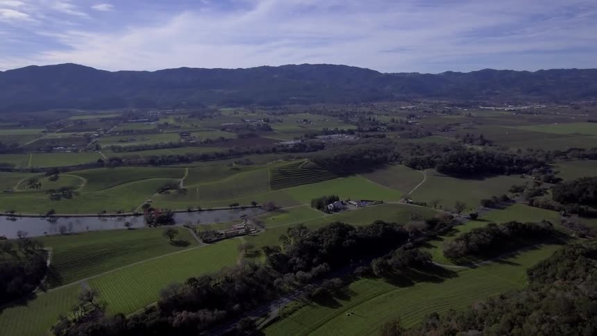
Aerial view of a grasscovered field with a small lake and a bridge
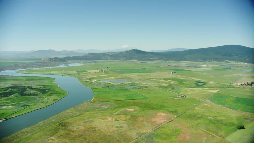
An aerial view of a river running through a grassland with hills in the distance near Klamath Falls, Oregon
Aerial panorama of an active irrigation system on an agricultural field at dawn
Aerial view of Columbia River flowing between Washington and Oregon farmland showcasing sunny day scenery and wide-angle perspective
Aerial view of Ice Harbor Dam on the Lower Snake river in Eastern Washington, the last of four dams on the Lower Snake River before the confluence with the Columbia River
Trucks travel along the long road
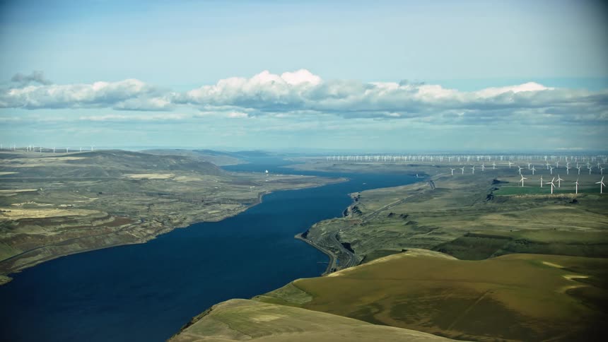
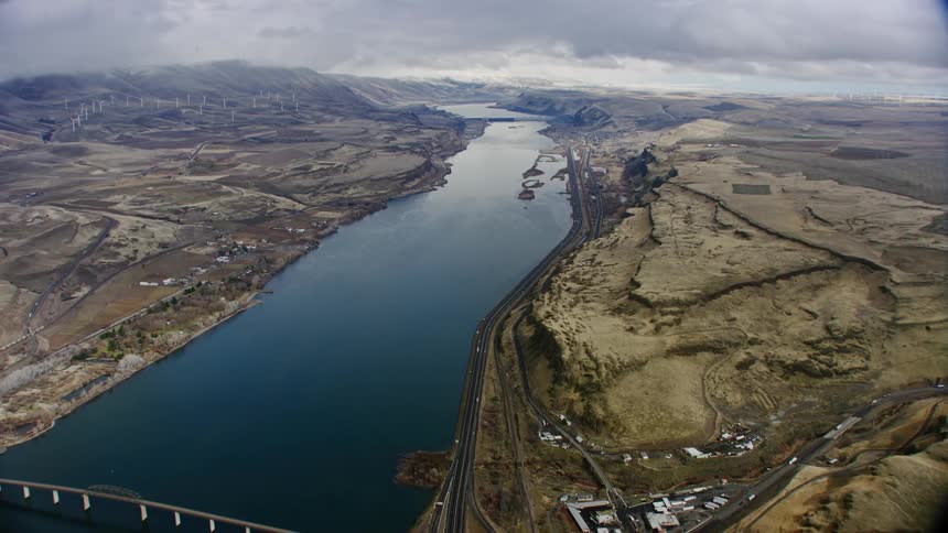
The eastern Columbia River Gorge high above the Deschutes River with vast wind farms producing renewable energy and hydro power under a puffy cloud blue sky day
Aerial view of a the Columbia River winding around an extensive desert in warm summer light
Little Goose Dam is seen far on the horizon as the setting sun casts golden hour reflective light on the Lower Snake River in the Western United States
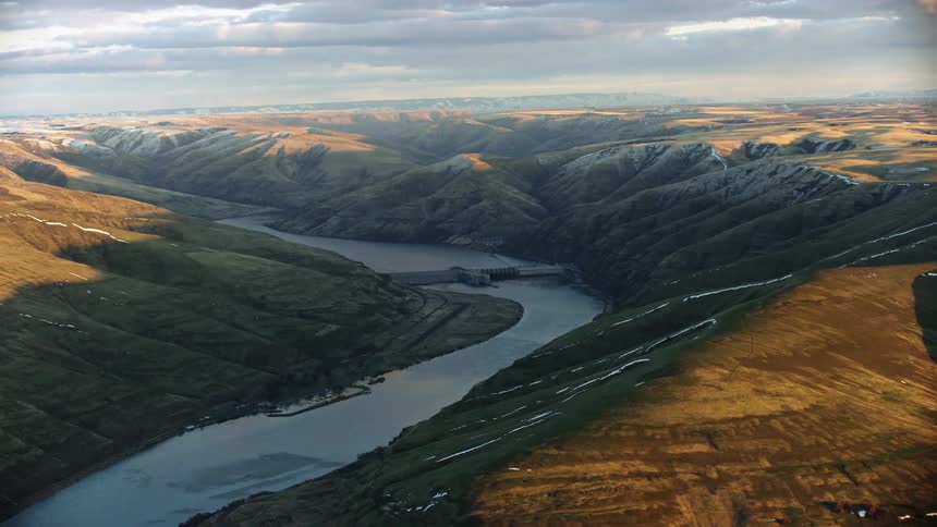
Granite Dam built by the Army Corp of Engineers  on the Lower Snake River as seen in winter from this super wide aerial
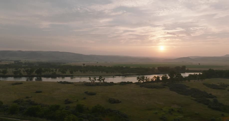
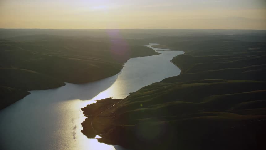
Aerial view of a winding river cutting through vast rural land at sunset
A winding river flows through a dry hilly landscape with scattered trees and farmland
Super wide of the Hanford Nuclear Facility along the Columbia River in eastern Washington State
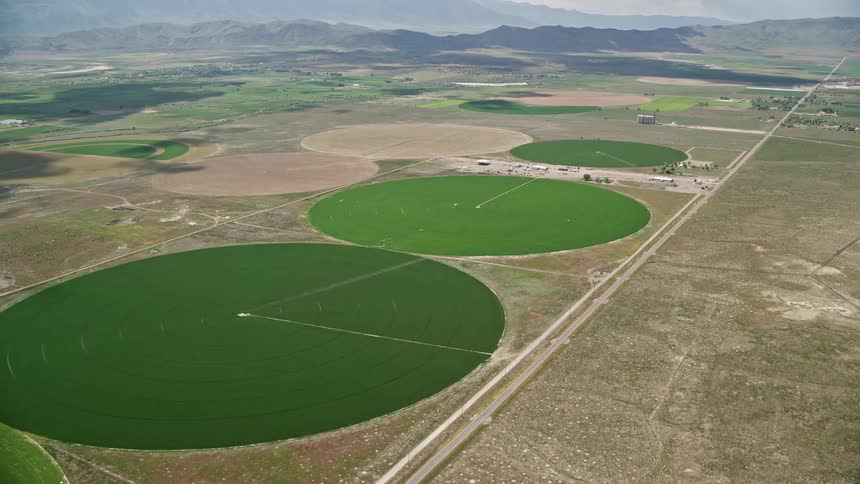
 aerial footage of flying over vast circular crop fields in Elberta Utah showcasing the rustic and agricultural landscapes of the Southwest United States during a sunny summer day
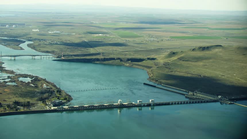
McNary Lock and Dam in Eastern Washington on the Lower Columbia River in the Army Corps of Engineers Hydro Electric Complex
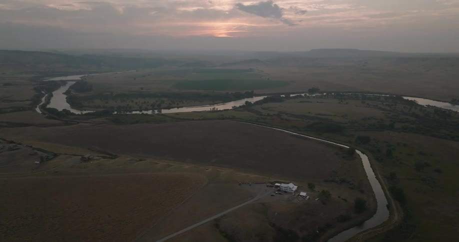
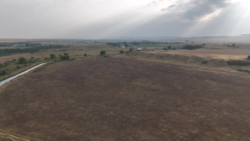
River runs around an empty field near a lonely house
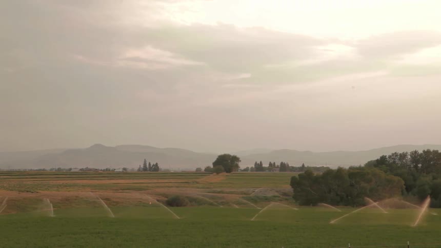
Aerial shot of a center pivot irrigation sprinkler blasting a huge field of Alfalfa
Aerial view of a landscape and river is displayed
The lower snake river weaves through the high Palouse country of eastern Washington on the way to confluence the Columbia River near the Tri-Cities
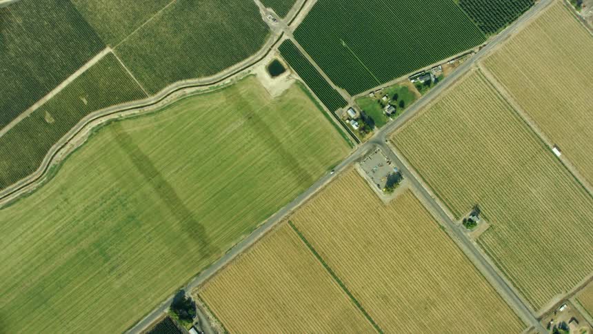
Looking straight down from 10,000 feet rotating and following a white car as it drives on a straight rural road flanked by irrigation canal and cubic symmetrical agricultural land

Need help finding the
right footage?

Have it delivered to your account within 1 business day.

This is Filmsupply

Our StoryOur FilmmakersArticlesFilmsPopular SearchesAll Categories

FM

A family of brands dedicated to empowering the creative.

FILMSUPPLY

Footage licensing for productions

MUSICBED

Music licensing for filmmakers

STILLS

Image licensing for creatives

© 2026 FM LLC.
Privacy PolicyLicense TermsTerms & ConditionsCareers