Musicbed
Filmsupply
Stills
Contact Us(800) 805-6802
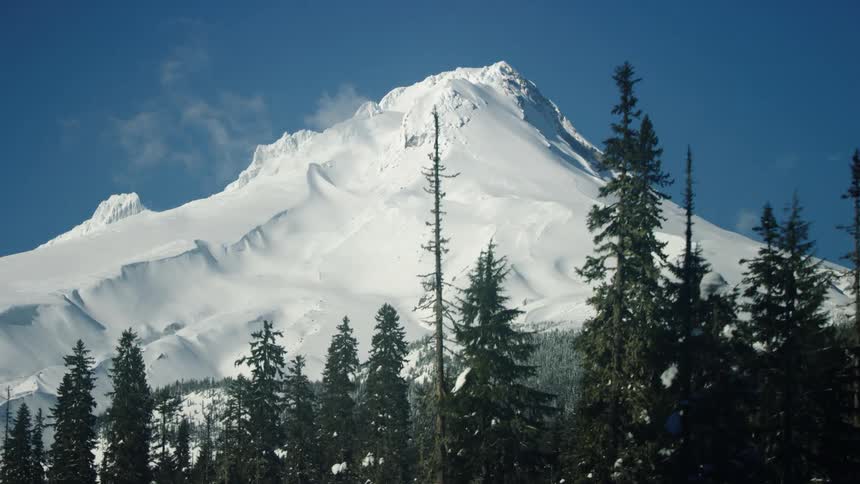
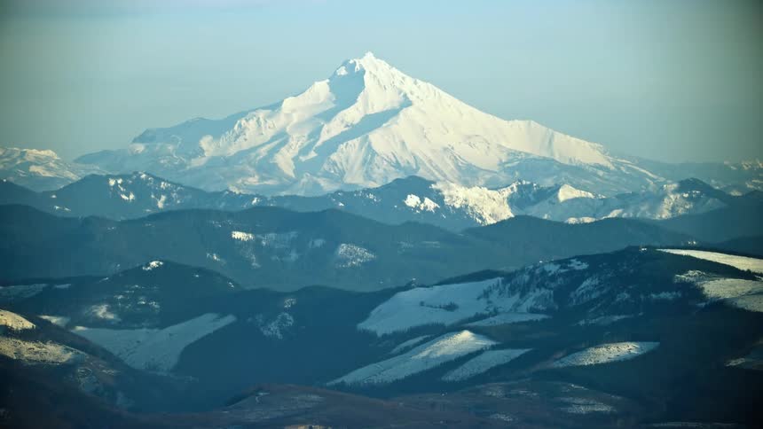
Mount Jefferson in Oregon near Bend rises high above the valley floor on a brilliant clear day in the middle of winter
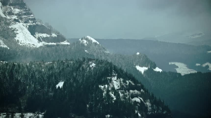
Clear cut logging is seen in the background of steep tree covered slopes in this airplane aerial shot in winter
Mount Hood in winter is seen from this low altitude aerial tucked into the trees as the wind blows fiercely on the mountain
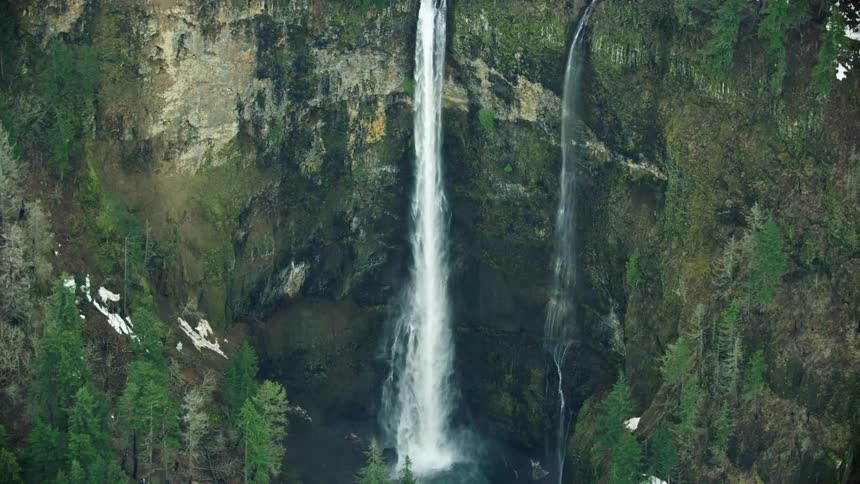
Multnomah Falls in Oregon which is the highest waterfall in Oregon falls 620 feet into the Columbia River Gorge in this view from an airplane aerial
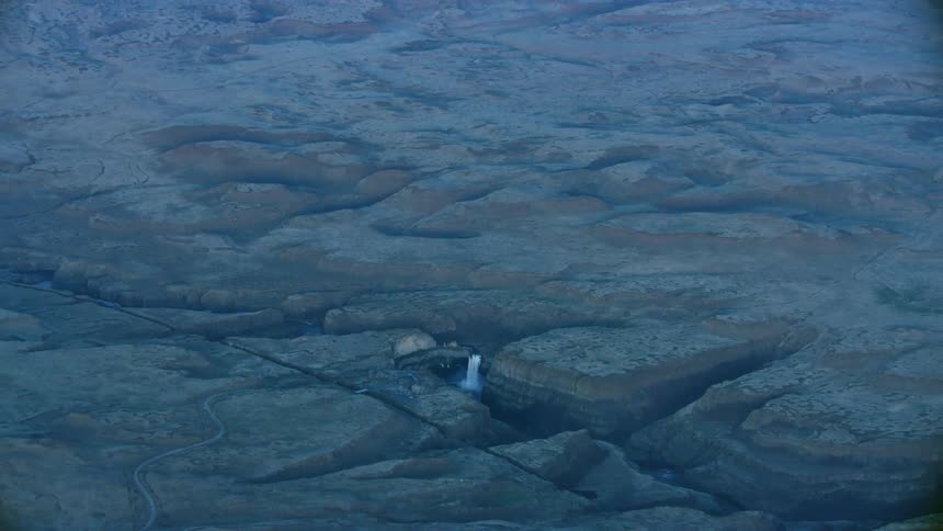
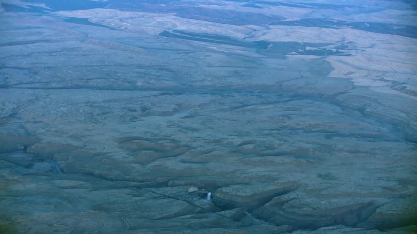
Slow zoom out reveal of Palouse falls and the massive gorge the Palouse river has cut out of the Palouse high desert landscape in Eastern Washington
Slow zoom out reveal of Palouse Falls and the vast Palouse wheat growing region of Eastern Washington in late evening light from high above Earth
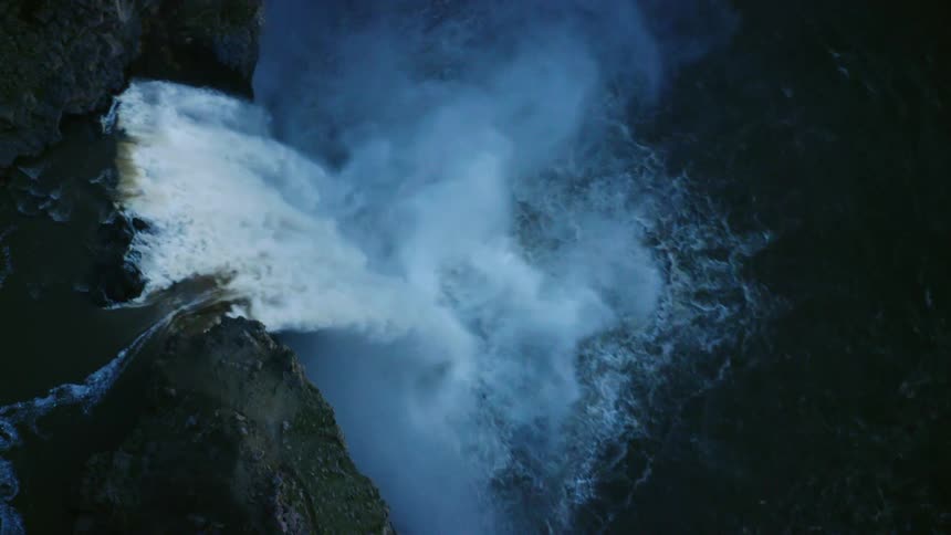
Looking straight down on the 200 foot high Palouse Falls in blue hour light as is cascades to the pool below in spring flows
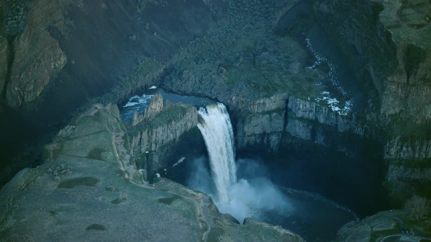
200 feet high Palouse Falls in Eastern Washington as the Palouse river cascades to the pool below in this high altitude aerial shot
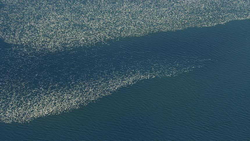
Aerial view of birds flying over the ocean
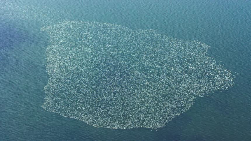
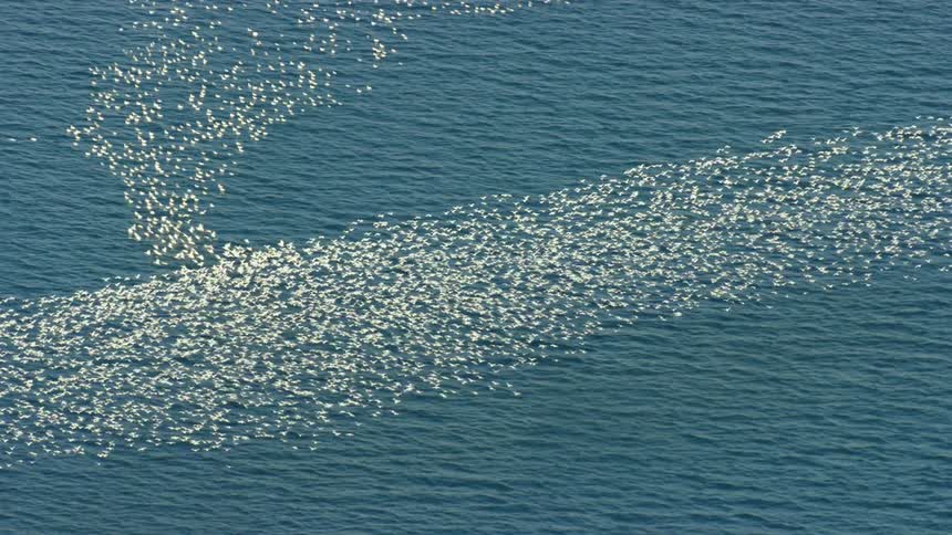
A view of a massive group of birds over the ocean
A flock of birds flying over the ocean encounters another flock and changes direction
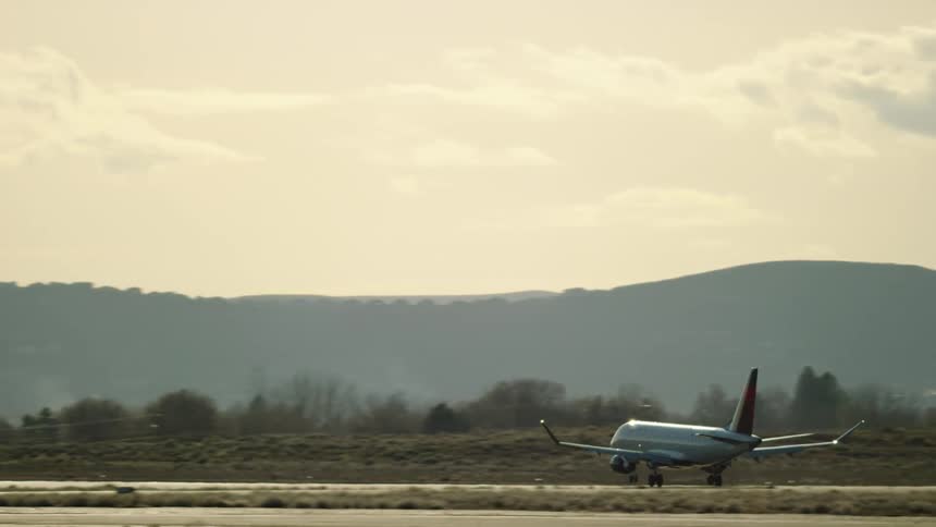
An Embraer E175 commercial passenger jet with winglets approaching landing at an airport in the evening sunset light
A Commercial Airbus A319 passenger commercial aircraft departs a major airport performing a non stop flight across the United States
A Embraer E175 Commercial passenger jet airplane lands at an airport in warm afternoon light
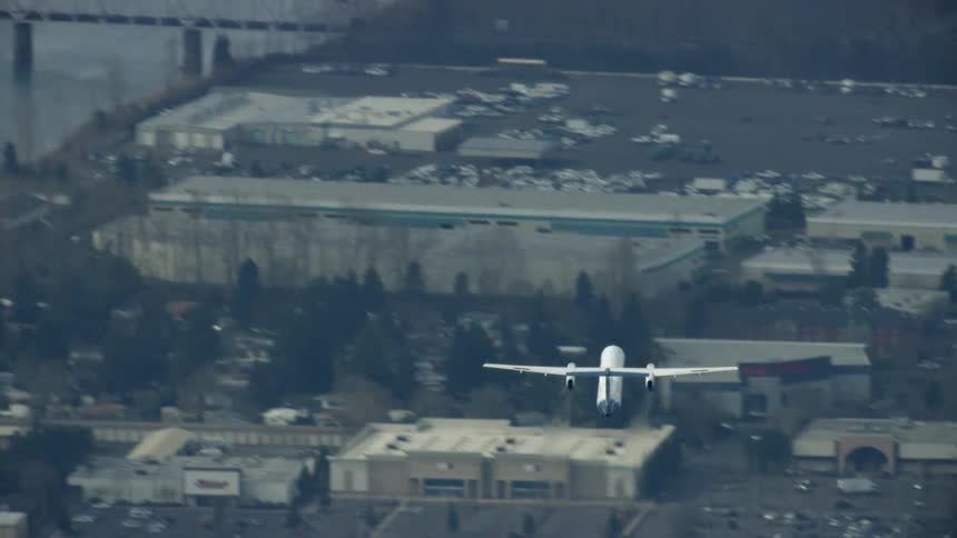
A Bombardier Q400, now the de Haviland of Canada Dash 8 400 commercial airplane flies over a large river after departing a major airport
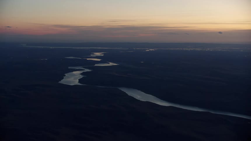
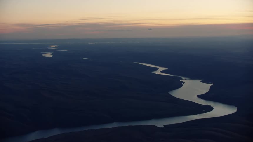
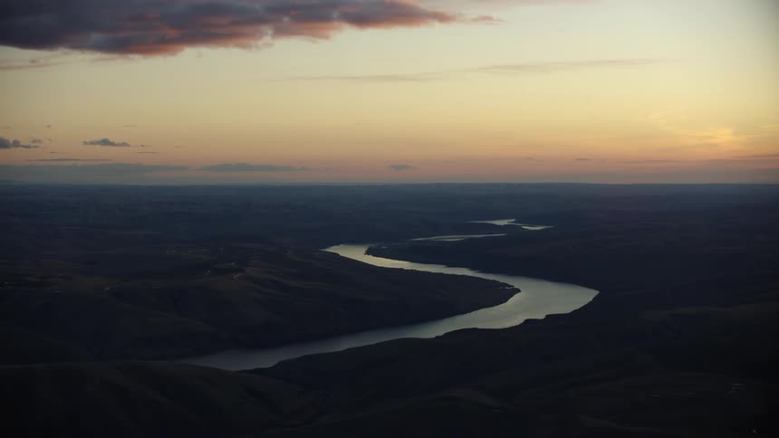
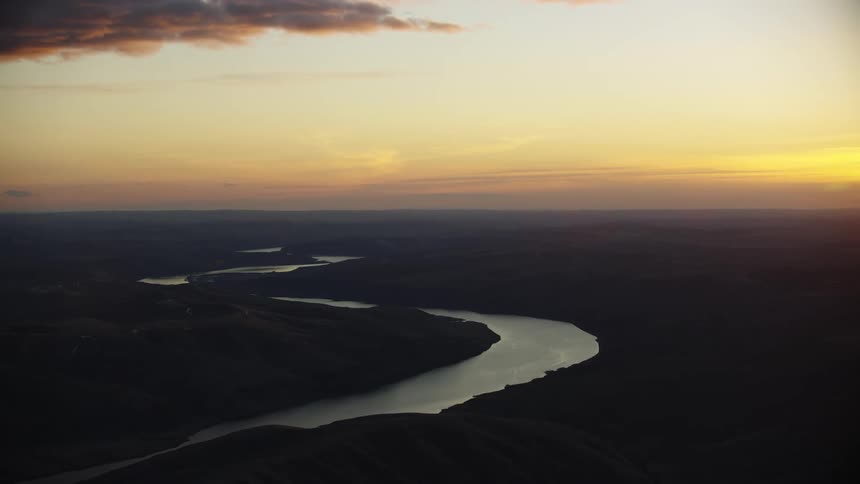
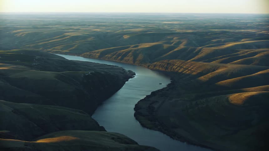
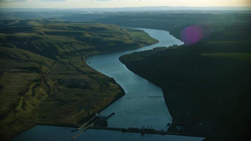
The Lower Snake River heads west at sunset from this sweeping aerial that reminds us there's a lot of space out there to explore
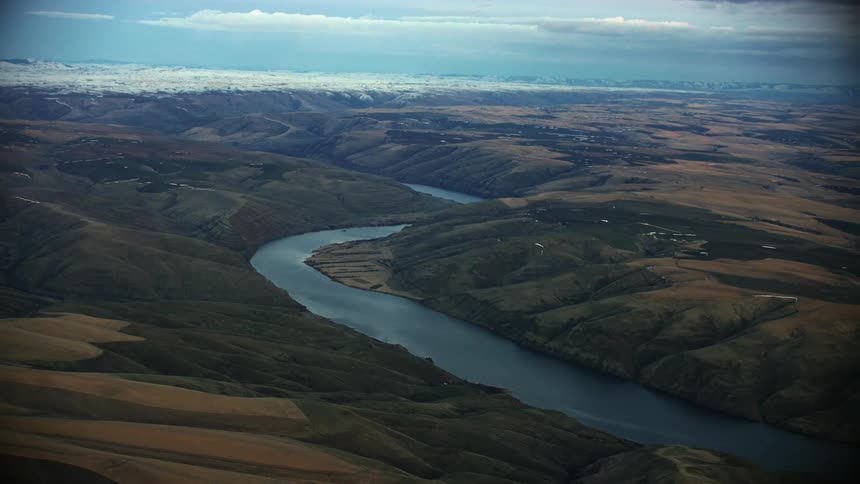
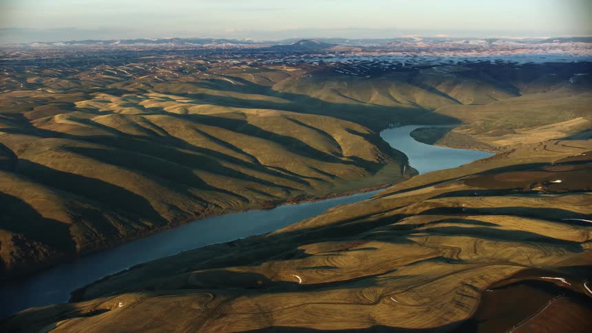
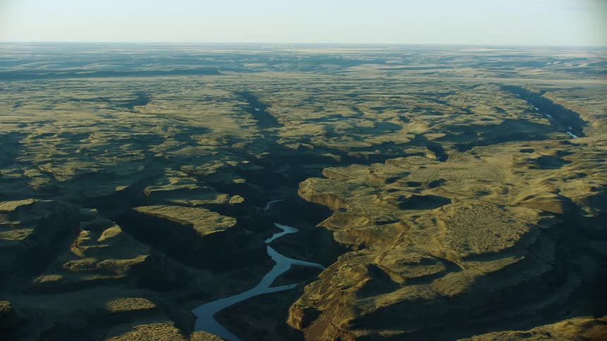
The lower snake river weaves through the high Palouse country of eastern Washington on the way to confluence the Columbia River near the Tri-Cities
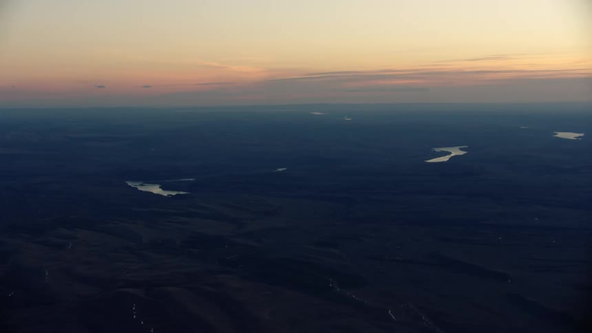
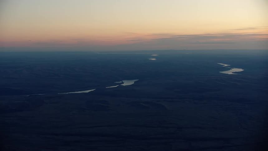
Blue hour super wide aerial shot of the Palouse country of esatern Washington with the Lower Snake River flowing west towards Portland, Orgon
Super wide blue hour post sunset glow of the Lower Sanke River as it meanders west to the Columbia River
Blue hour aerial shot of the Lower Snake River meandering through the high Palouse country of eastern Washington as the sun sets in winter
Gorgeous super side of the Lower Snake River at sunset from high above as it meanders west towards the Pacific Ocean
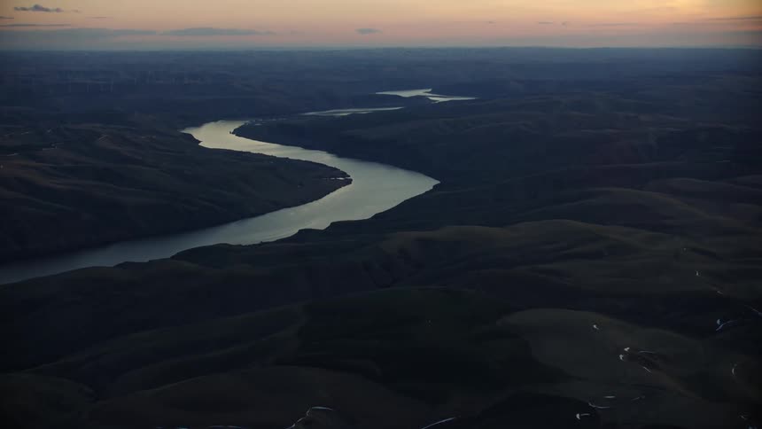
Slow tilt up of the Lower Snake River as it flows west towards the Columbia river at sunset in beautiful blue hour light
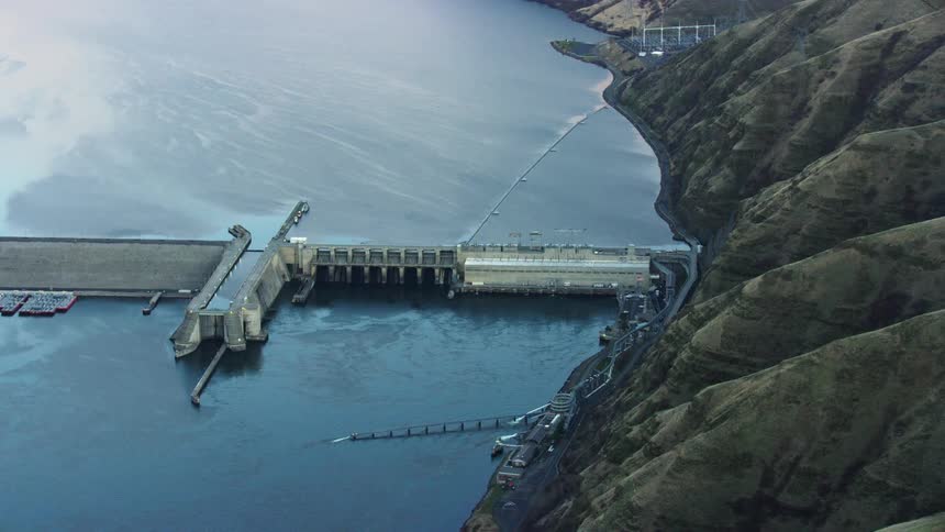
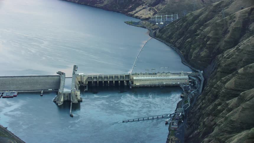
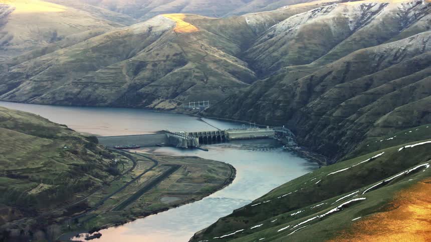
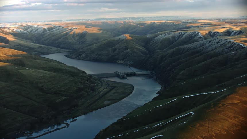
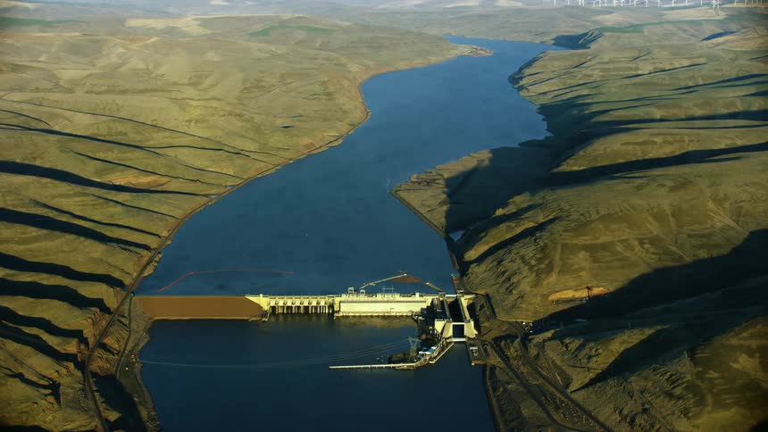
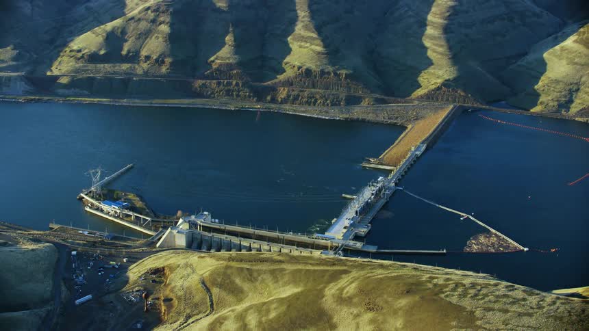
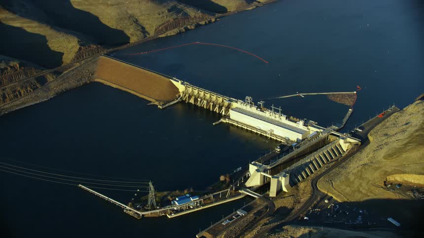
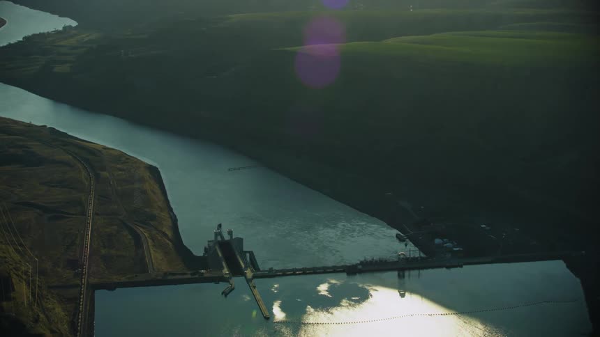
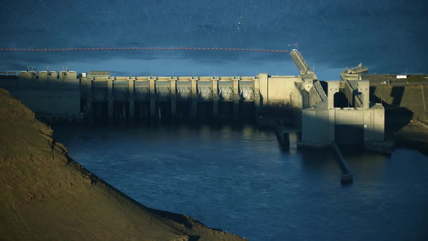
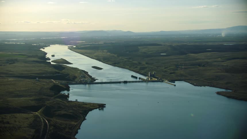
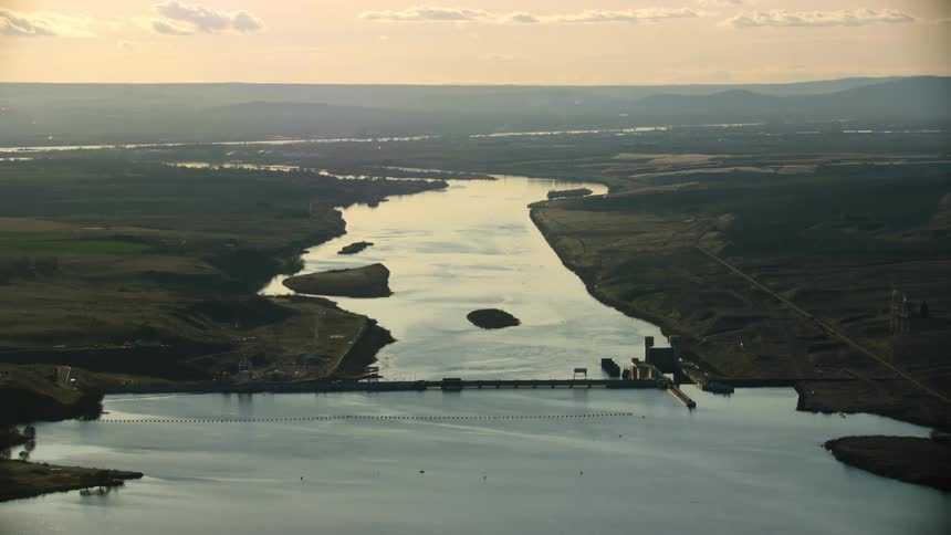
Aerial view of a granite dam on the lower snake river at sunset in winter showing the impact of this run of river dam
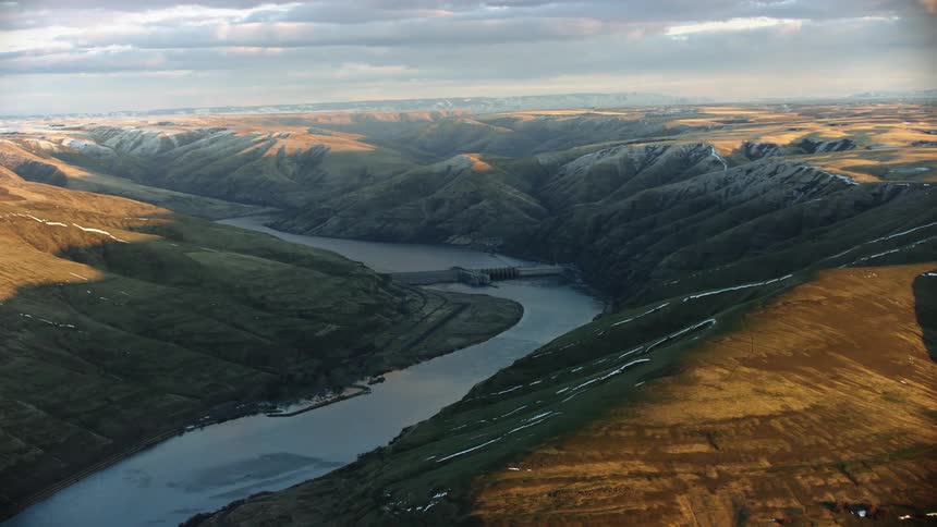
Looking down at Lower Granite Dam on the Snake River near Lewiston and Clarkston showing the impoundment and the river at sunset
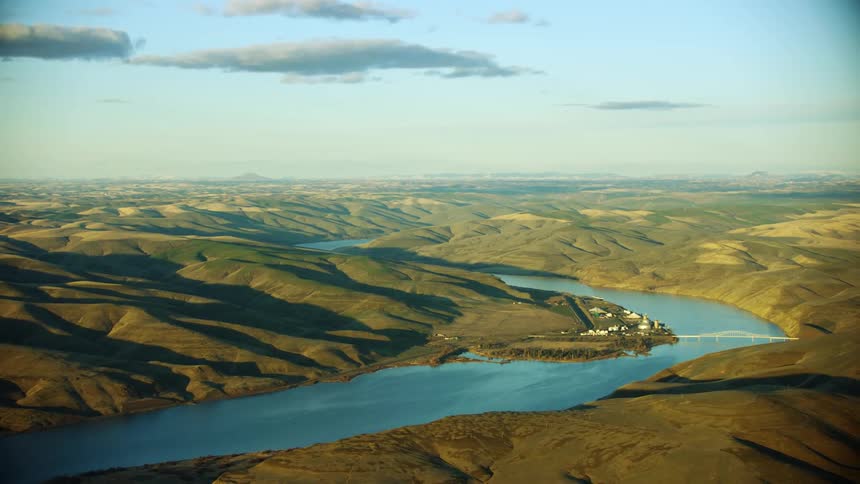
Lower Granite Dam is seen obstructing the Lower Snake River near Lewiston Idaho in this revealing aerial shot of the Snake River at sunset
Lower Granite Dam on the Lower Snake River near Lewiston, Idaho is eclipsed by a tall hill at sunset in winter in this aerial
Slow zoom out reveal aerial at sunset of the lower snake river as it flows west towards the Columbia River, the same route migrating salmon swim
Sunset glow illuminates the Lower Snake River near the tri-cities in eastern Washington as the river water glimmers in the setting sun
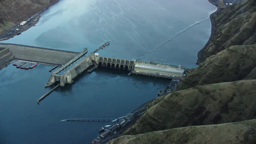
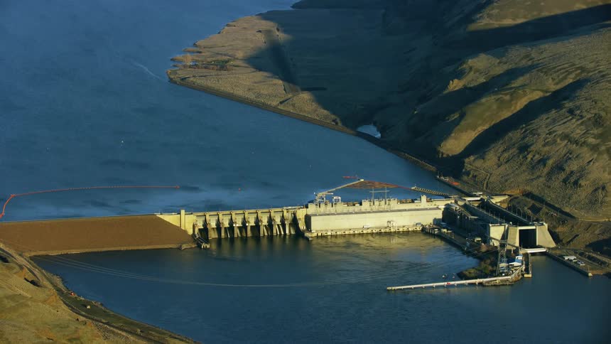
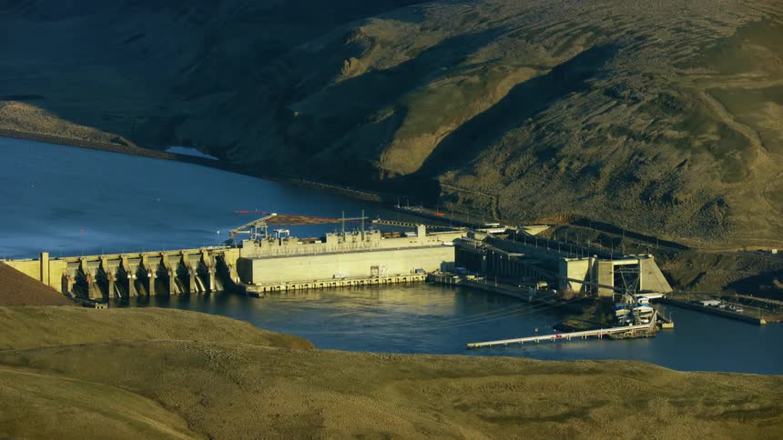
Granite Dam built by the Army Corp of Engineers  on the Lower Snake River as seen in winter from this super wide aerial
Zoom reveal of Granite Dam impounding the Lower Snake River near Lewiston, Idaho as the camera reveals the vast scene in the river valley
A sweeping aerial shot of Granite dam on the Lower Snake River in Idaho revealing the extend of the impoundment and it's impacts on the once free flowing river and salmon migration
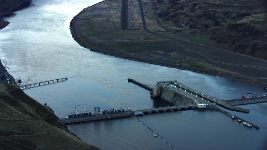
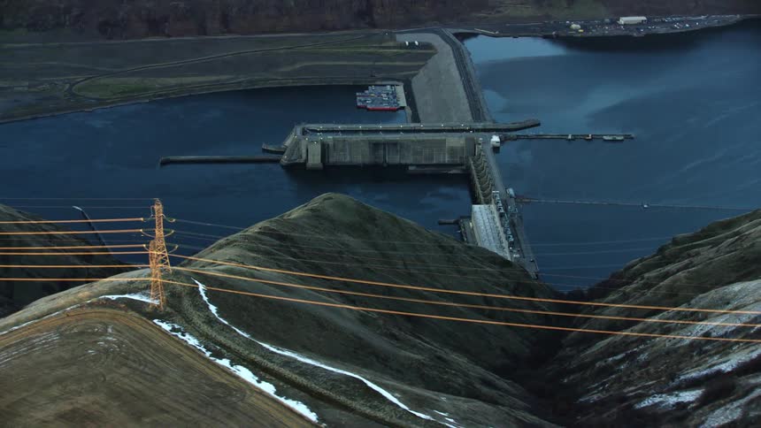
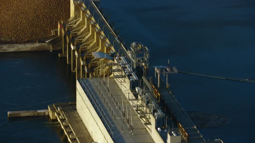
Dynamic aerial featuring high tension power lines looking straight down valley at Lower Granite Dam on the Lower Snake River as the camera wraps around the dam
Super wide aerial of Lower Granite Dam on the Lower Snake River near Lewiston Clarkston and there are concerns about the impacts of the dam with Salmon migration
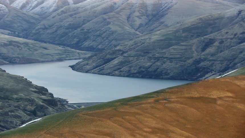
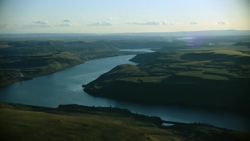
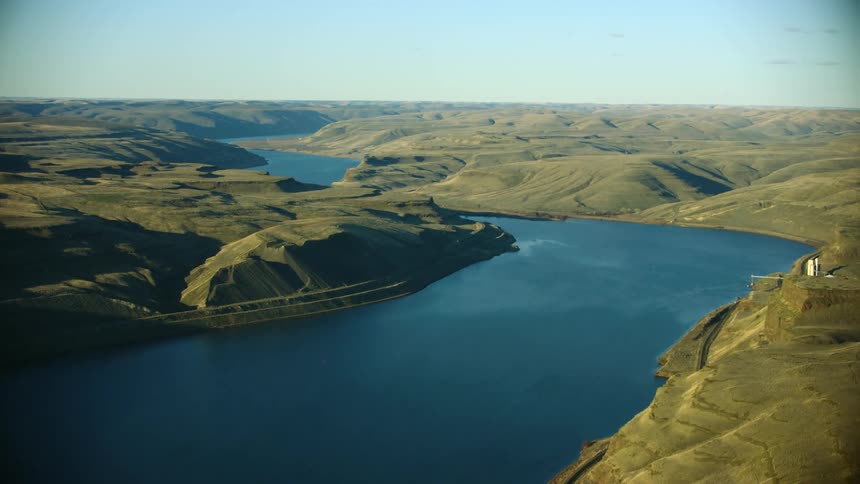
Looking east up the Lower Snake River valley as it flows through four impoundments in Eastern Washington State
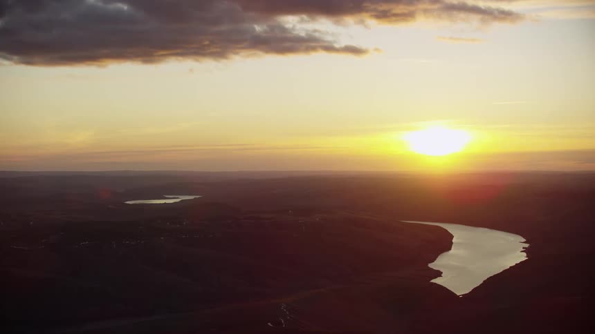
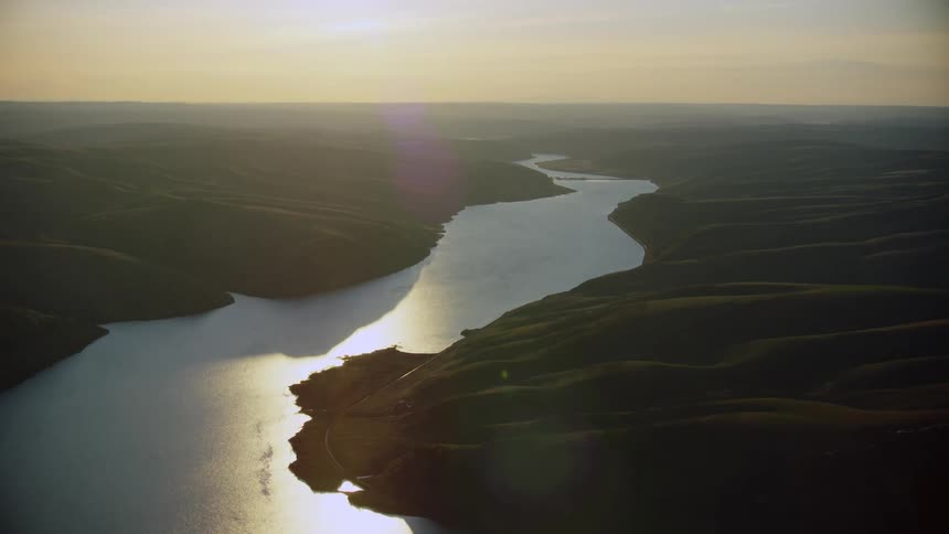
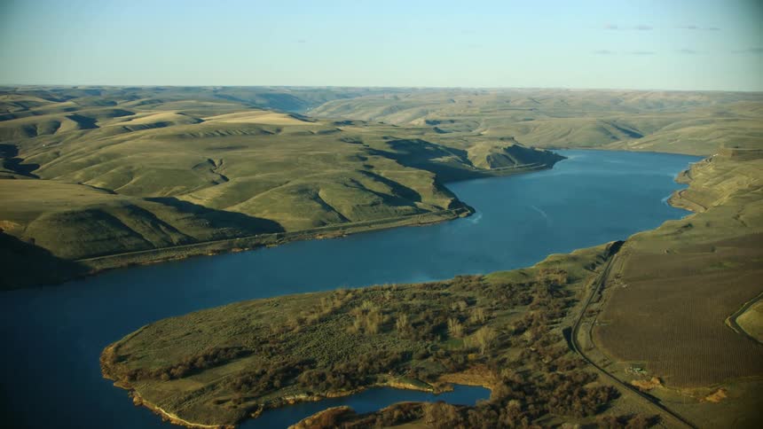
Awesome sunset aerial of the glimmering Lower Snake River in Eastern Washington as it weaves through the Palouse high country
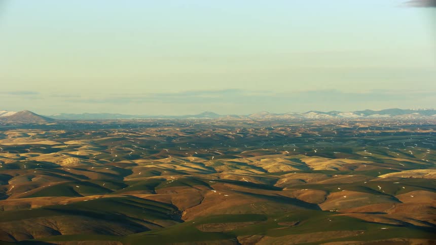
Stunning shot of the Palouse hill terrain near Pullman Washington and the Eastern Washington University Wazoo
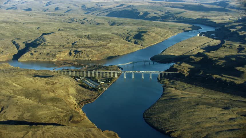
Central Ferry Bridge also known as Elmer C. Huntley Bridge spanning the Lower Snake River in Eastern Washington State at sunset in this sweeping aerial
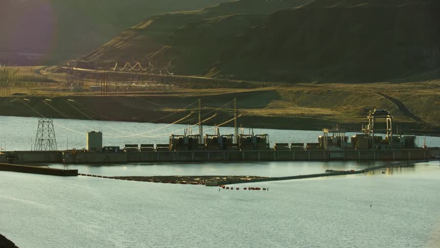
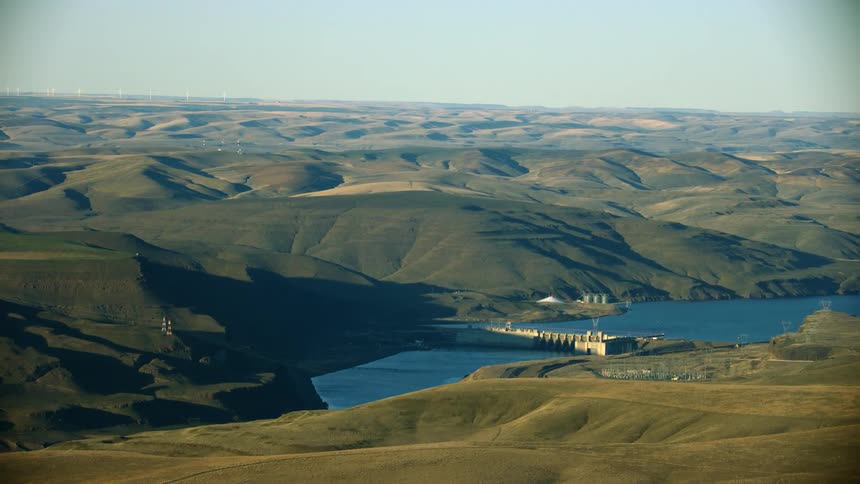
Little Goose Dam is seen far on the horizon as the setting sun casts golden hour reflective light on the Lower Snake River in the Western United States
Super Wide shot of Little Goose Dam that Impounds the Snake River on the Lower Snake River in beautiful sunset light
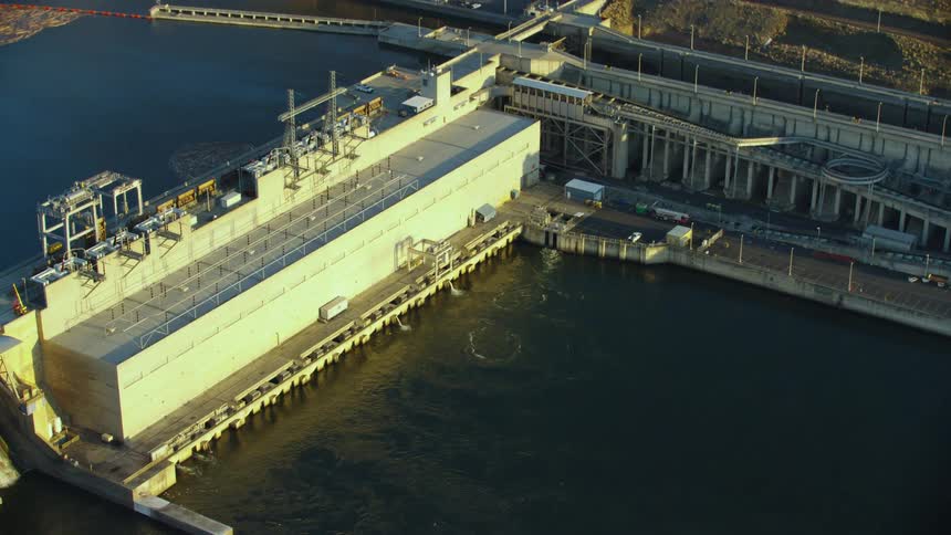
Tight aerial shot of Little Goose Dam on the Lower Snake River in Eastern Washington and there is talk of breaching these four dams for salmon migration
Low altitude dynamic zoom aerial of Little Goose Dam on the Lower Snake River with powerlines and the size of the dam visually communicated
Little Goose Dam with a barge and boat navigation lock on the Lower Snake River as seen from a sweeping aerial shot
Little Goose Dam on the Lower Snake River in this low altitude dynamic aerial shot of the impoundment in golden hour light
Wide aerial shot of Lowe Monumental Dam on the Lower Snake River in Eastern Washington showing the vastness of the river canyon
Sweeping aerial of Lower Monumental Dam on the Lower Snake River near Pullman Washington and Eastern Washington University
Lower Monumental Dam on the Lower Snake River as seen from high above in this sweeping aerial of the Army Corp of Engineers project
Lower Monumental Dam on the Lower Snake River in this high altitude aerial in golden hour light revealing the impoundment spanning the Army Corp of Engineers Dam
Lower Monumental Dam on the Lower Snake River in the Palouse country of eastern Washington at the heart of fish and salmon migration challenges
The Lower reaches of the Palouse River as it carves its way through a vast canyon before confluencing the Lower Snake River
Lyons Ferry Bridge near Lyons Ferry State Park in eastern Washington at the confluence of the Palouse and Snake Rivers in a high altitude aerial
Lower Monumental dam on the Lower Snake River as seen from high above aerial in golden hour stunning light revealing the impact on the once free flowing river
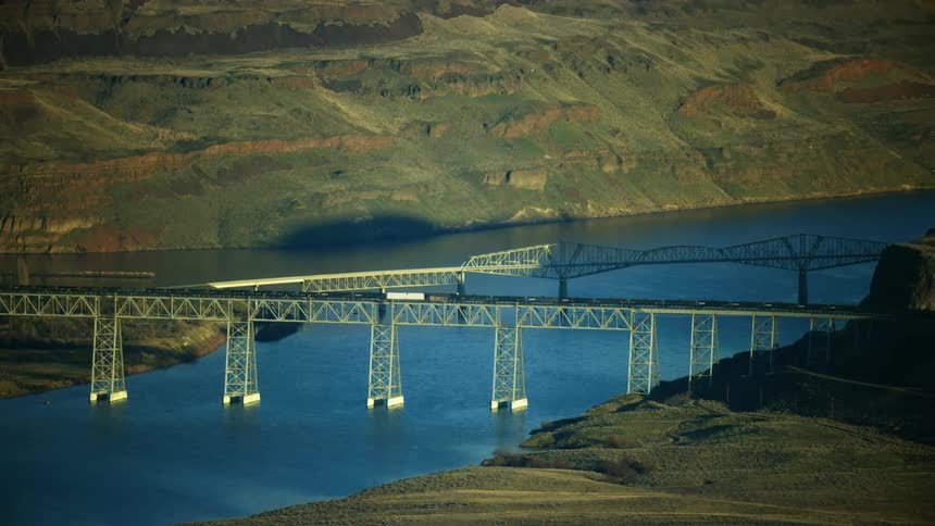
A long cargo train travels across Central Ferry Bridge also known as Elmer C. Huntley Bridge spanning the Lower Snake river in eastern Washington
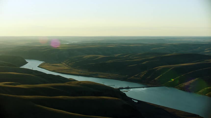
Looking downstream on the Lower Snake River in Eastern Washington with Lower Monumental dam in the foreground showing how dams block the free flowing water in this river
Lower Monumental Dam is revealed from behind a grassy hill in this tight shot aerial communicating that impoundment of the concrete run of river dam
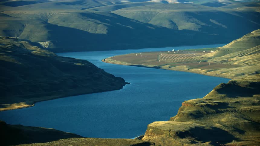
The Lower Snake River as seen from high above in this sweeping aerial shot in warm afternoon light over the Palouse hills in Eastern Washington
The Lower Snake River agricultural land as seen from high in the air and a calm sunny day with apples, peaches and cheeries growing on the side of the river
Lower Monumental Dam on the Lower Snake River as seen from high above the Palouse grass hills in evening light
A vast expanse of the Lower Snake River in Eastern Washington between one of four Lower Snake River dams that impinge Salmon migration
Aerial of the Lower Snake River corridor as seen from high above the river in an airplane
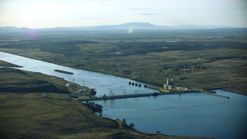
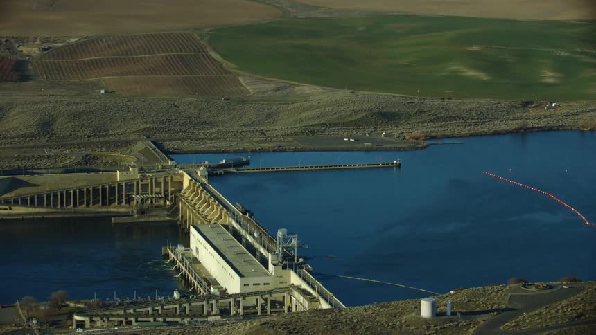
Aerial view of Ice Harbor Dam on the Lower Snake river in Eastern Washington, the last of four dams on the Lower Snake River before the confluence with the Columbia River
Aerial of Lower Monumental Dam on the Lower Snake River in Eastern Washington where discussions are taking place on whether to breach the four dams or not for Salmon migration and tax payer savings
Ice Harbor Dam on the Lower Snake River in Eastern Washington near the confluence of the Columbia River with farmland and agricultural land on both sides of the river
Ice Harbor Dam on the Lower Snake River with the Columbia River in the background in the this evening sunset aerial showing the height and impact of the impoundment on the river

Need help finding the
right footage?

Have it delivered to your account within 1 business day.

This is Filmsupply

Our StoryOur FilmmakersArticlesFilmsPopular SearchesAll Categories

FM

A family of brands dedicated to empowering the creative.

FILMSUPPLY

Footage licensing for productions

MUSICBED

Music licensing for filmmakers

STILLS

Image licensing for creatives

© 2026 FM LLC.
Privacy PolicyLicense TermsTerms & ConditionsCareers